Walking the GR120: A 3-Day Côte d’Opale Trek Itinerary (Calais to Boulogne-sur-Mer)
Last Updated on October 1, 2026 by Kimberly
If you want to walk the Côte d’Opale rather than simply visit it, this three-day GR120 itinerary takes you along one of the best sections of the northern French coast, from Calais to Boulogne-sur-Mer.
Over three days, you’ll walk past the chalk cliffs of Cap Blanc-Nez and Cap Gris-Nez, cross long stretches of beach, pass through fishing villages and seaside towns like Wissant, Audresselles, Ambleteuse and Wimereux, and finish in Boulogne-sur-Mer.
It works especially well as a short inn-to-inn walking trip because you can hike during the day and stay in hotels or guesthouses each night without carrying camping equipment.
I walked this route over three days as a self-guided trek during my husband’s and my anniversary in July, starting with the roughly 20-kilometer stage from Calais to Wissant before continuing south along the GR120.
The combination of distance, exposed coastal weather, sand, tides, and a few longer days means a few things are worth knowing before you set off.
In this guide, I’ll break down my complete three-day Côte d’Opale walking itinerary, including the daily stages and distances, where I stayed, what the terrain is actually like, how to handle transportation, what to know about tides and trail reroutes, and the practical details I wish I had before walking the GR120 myself.
If you’re looking for a multi-day coastal hike in France that you can realistically fit into a long weekend, this is a very good place to start.
While I booked this particular hike through Bookatrekking, this blog post is full of planning advice for anyone who wants to do it without their help.
This Post Pairs well with
- Italy’s MADE Trek: The Quiet Trek You’ll fall for in Italy
- Alta Via 2 Short Itinerary: A Solo Hike Through The Northern Section of the AV2
- Alta Via 1 Short with Bookatrekking: Here’s What It’s Like to Hike the Northern Section of The AV1
- Solo Hiking the Palaronda Trek with Bookatrekking: A Guide for Solo Female Hikers
- Via Francigena San Gimignano to Siena: 3-Day Itinerary + What I’d Do Differently
Where You Sleep, Night by Night
Map of the GR120 Route
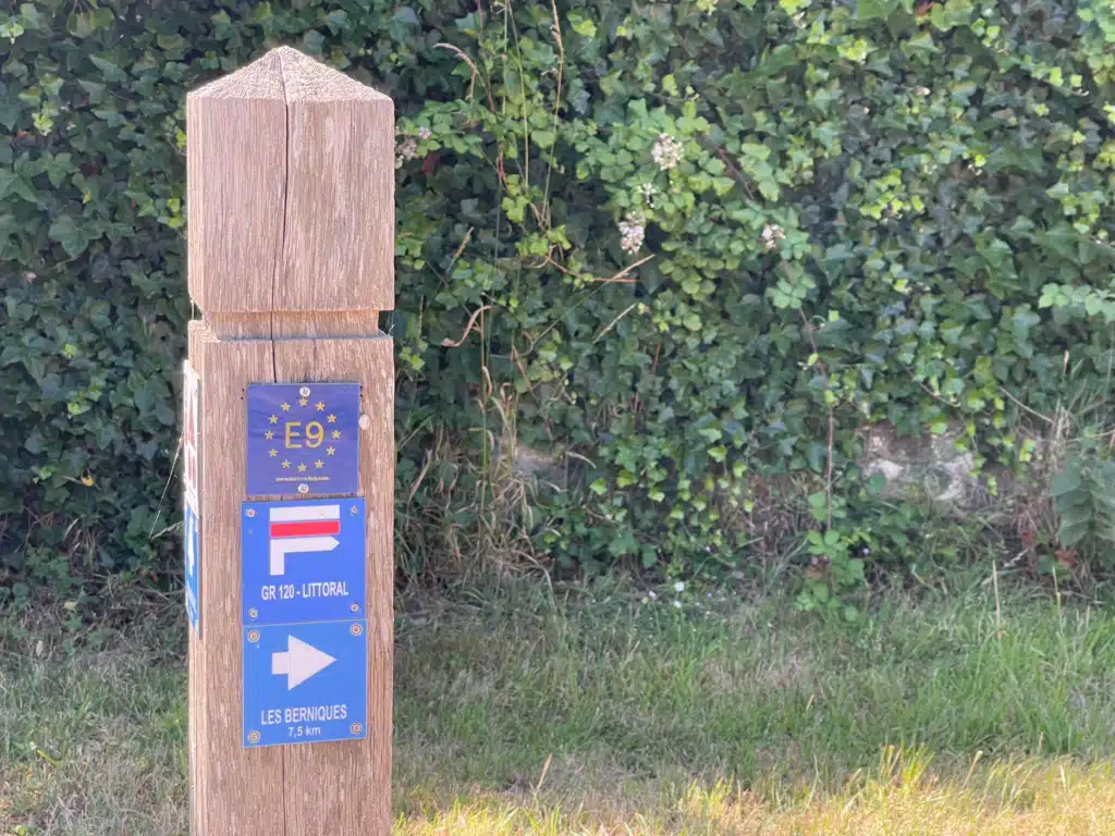
The GR120 runs the length of the Opal Coast, but this itinerary covers the northern section between Calais and Boulogne-sur-Mer. Waymarking follows the standard FFRandonnée red-and-white balisage, and it’s good throughout.
If you want a paper backup, the IGN TOP25 2103ET sheet covers the whole route.
One thing worth knowing before you start: the Calais to Wissant stretch is also the opening French stage of the Via Francigena, waymarked as the GR145. (Click on the Link to learn more about my experience walking the Via Francigena)
You’ll see both sets of markers on Day 1, and at one point you’ll have to choose between them.
Here is the route on Komoot. Click the map to go to the Komoot website, where you can save it to your profile.
51 km, Broken Down
| Stage | Distance | Ascent | Time |
| Calais to Wissant | 20.4 km | +170 m | 5h 20min |
| Wissant to Ambleteuse | 17 km | +190 m | 4h 30min |
| Ambleteuse to Boulogne-sur-Mer | 13.6 km | +160 m | 3h 40min |
| Total | 51 km | +520 m | 13h 30min |
How to Book the Côte d’Opale Trek
We booked ours self-guided through Bookatrekking, which meant the four hotels were reserved for us, and we got the route notes and GPX files in their app. We had one hiccup with the Wissant reservation, and they sorted it within 24 hours.
If you are curious about what it’s like to hike with Bookatrekking, read my review (I promise it’s good; otherwise I wouldn’t book with them!)
The thing to be clear on: there’s no luggage transfer on this route. Some of their other treks include it.
This one doesn’t, so you carry whatever you bring for three days. That changes what goes in the bag more than anything else about this walk.
3-Day Côte d’Opale Trek / GR120 Itinerary
Below is our itinerary, starting with our sleeping arrangements in Calais.
Pre-Trek: Calais Before You Start
We drove from Belgium and parked at the Ibis in Boulogne-sur-Mer; this was our final hotel, and it lets you park your car there while you walk. Please call ahead to make sure this is okay, and do NOT assume you can park there for the three days you’ll be hiking.
We then went to the train station and took the train up to Calais.
One thing to prepare yourself for is train cancellations, especially in France. We had this problem when we arrived and had to be rerouted through Calais-Fréthun and took an Uber the rest of the way in, which cost us about forty minutes and a bit of stress. Build slack into this leg. It cost us roughly 40 euros
Where to stay in Calais, France
We stayed at the Holiday Inn Calais. It’s a business hotel, not a charming one, but it’s near the station, the beds are good, and you want a good night before a 20 km day.
Calais has more going on than its reputation suggests, and if you arrive early enough, the beach and the Rodin bronzes outside the town hall are both worth an hour, along with the fire-breathing dragon and the lighthouse.
- Budget: Hôtel Metropol, on Quai du Rhin near the station. Free street parking, ten minutes from the center.
- Midrange: ibis Styles Calais Center on Rue Royale. Central, reliable, walkable to restaurants.
- Something with character: Hôtel Meurice de Calais. Built in the 1700s, bombed in the war and rebuilt, with secure underground parking. Book this if you want Calais to feel like somewhere, not a stopover.
- Check rates at the Holiday Inn Calais on Booking.com
Day 1: Calais to Wissant, 20.4 km
This is the longest day and, for us, the hardest. Not because of the terrain, which is gentle, but because there’s almost no shade and we walked it in July heat.
The first few kilometers out of Calais are urban, then suburban, and then, fairly abruptly, they aren’t. You pick up the coast and the town falls away behind you.
You’ll be walking along the beach for the most part. The pathway is clearly marked, and you shouldn’t have any trouble finding your way.
There’s a food truck at Sangatte that we stopped at, and I’d plan for it during the summertime. But if I were you, I would pack snacks and drinks to really get you through the day.
The Food truck and Sangatte are the last easy food before the cliffs, and there is nothing between there and Wissant. Fill your water here too.
I overdressed for this day and regretted it within an hour. My Columbia PFG top felt sensible at 8 a.m. in Calais. They weren’t for the rest of the hike.


The Two Routes of Cap Blanc-Nez
This is the decision point. At Cap Blanc-Nez the GR120 and the GR145 split, and you can either take the high ridge past the Dover Patrol monument or stay lower on the coastal path.
We went high, on the Via Francigena line. The climb is real but short, and on a clear day you can see across to England from the top. From this vantage point, the water was milky topaz, opalescent, with hints of lavender from the patches of lavender fields.
You’ll be walking amongst farmland for the most part. You’ll see lots of wildlife throughout the day. Bring Binoculars if you have them.
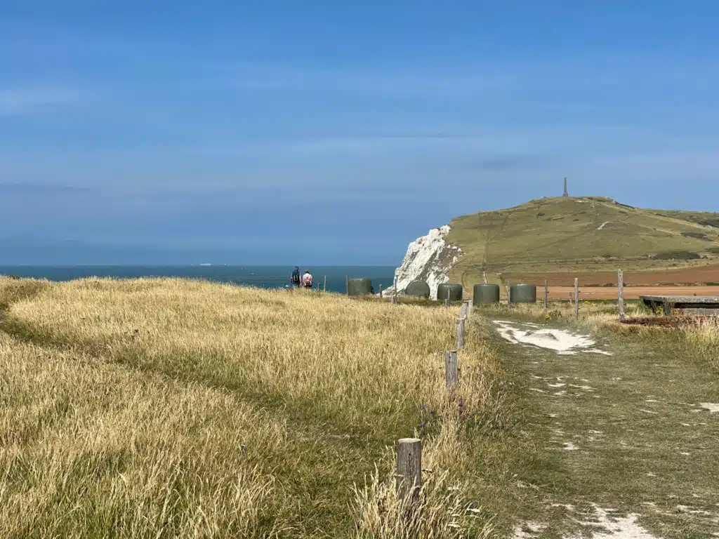
The monument itself is a stark white obelisk to the Dover Patrol who kept the Channel open in the First World War, and standing up there with the ferries crossing below is the moment I’d point to if someone asked why walk this coast at all. The history on this coast alone is a big part of this hike.
The lower path is easier and shorter. If it’s hot or you’re already tired, take it. You won’t be missing the coast, just the vantage point.
The Beach Walk Into Wissant
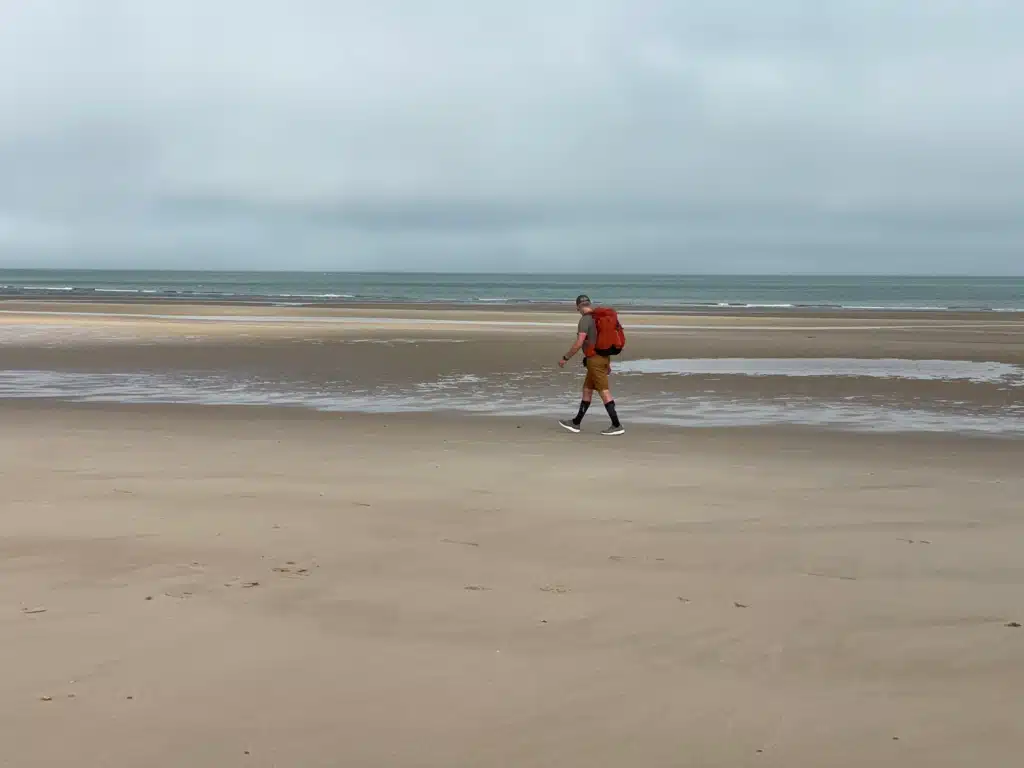
The last stretch into Wissant runs along the sand. We took our shoes off and walked the final kilometer barefoot in the shallows, which, after twenty kilometers in boots, was the right decision. I highly recommend this (lol).
Check the tide before you commit to the beach. At high water, you’ll be pushed up into the soft sand behind, which is much harder to walk.
Where to Stay in Wissant
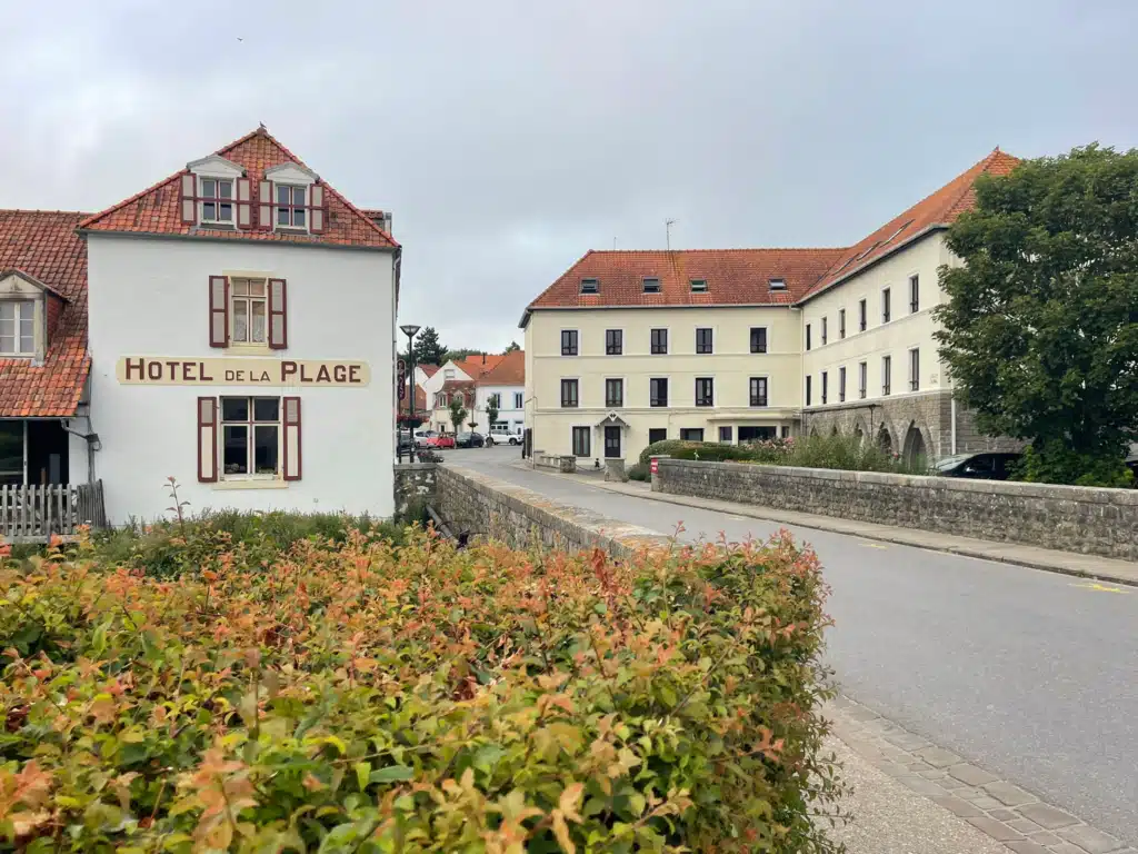
Where we stayed: Hôtel de la Plage sits right on the seafront, a two-minute walk from where the beach section ends. Simple, clean, sea views from the front rooms, and exactly what you want after the longest day of the trek. This is the one Bookatrekking books you into.
Hotels in Wissant
Midrange: Logis Hôtel de la Baie sur la rue Alphonse Daudet. Right on the beach with sea-view rooms and private parking, which matters if you’re driving in.
Nearby splurge: Hôtel l’Escale in Escalles, right under Cap Blanc-Nez, has a pool and spa. It’s off the trail, but if you wanted to break Day 1 or add a rest night, that’s where I’d look.
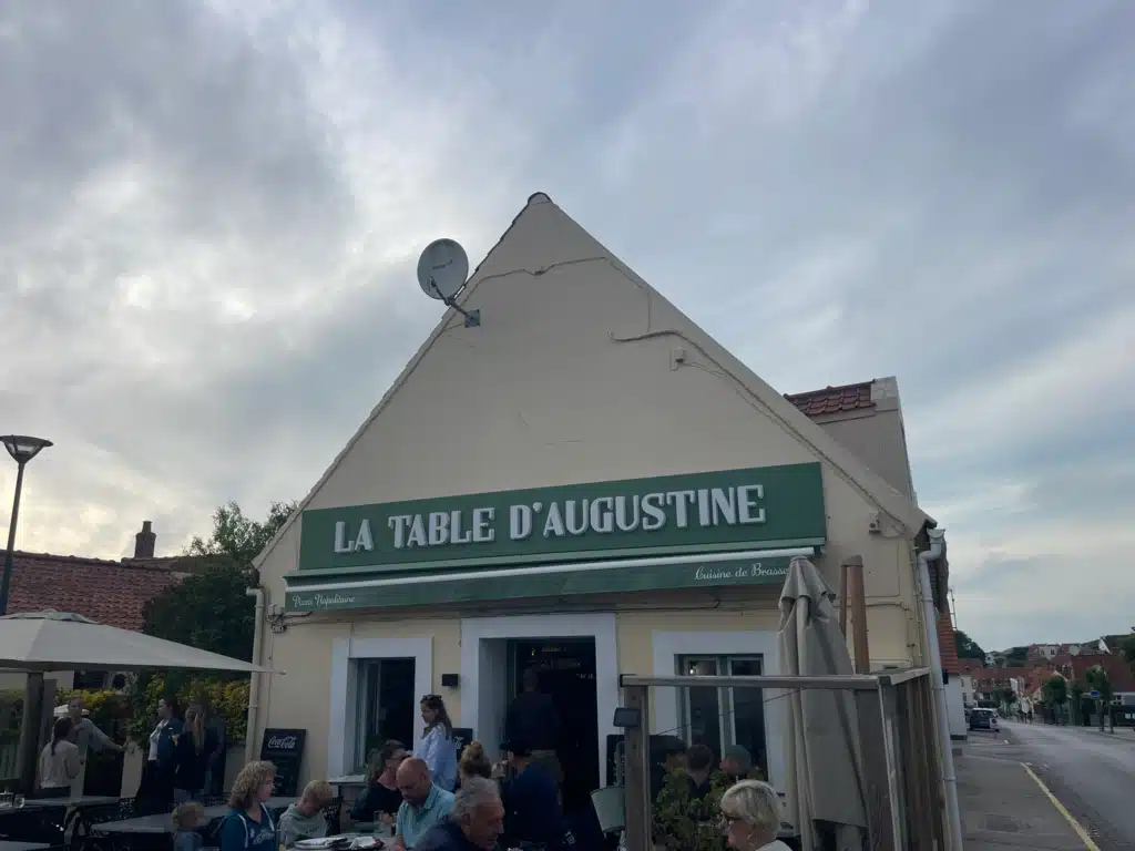
Where to eat in Wissant: La Table d’Augustine
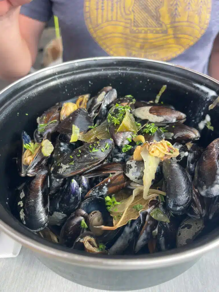
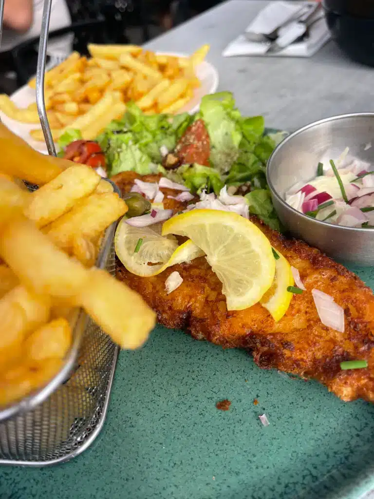
Small, good, and busy. I had a burger; I was starving, and my husband went straight for the regional delicacy- moules frites. We actually ended up sharing his meal as it was DEVINE. The mussels were locally caught and sautéed in a cheddar, marjoram, sage sauce, and it was the best meal of the three days.
Address: 4 place du maréchal Leclerc, 24 Rue Gambetta, 62179 Wissant, France
Book this the night before. Wissant is small, and the good tables go fast in summer.
We finished our night off at two additional restaurants in Wissant:
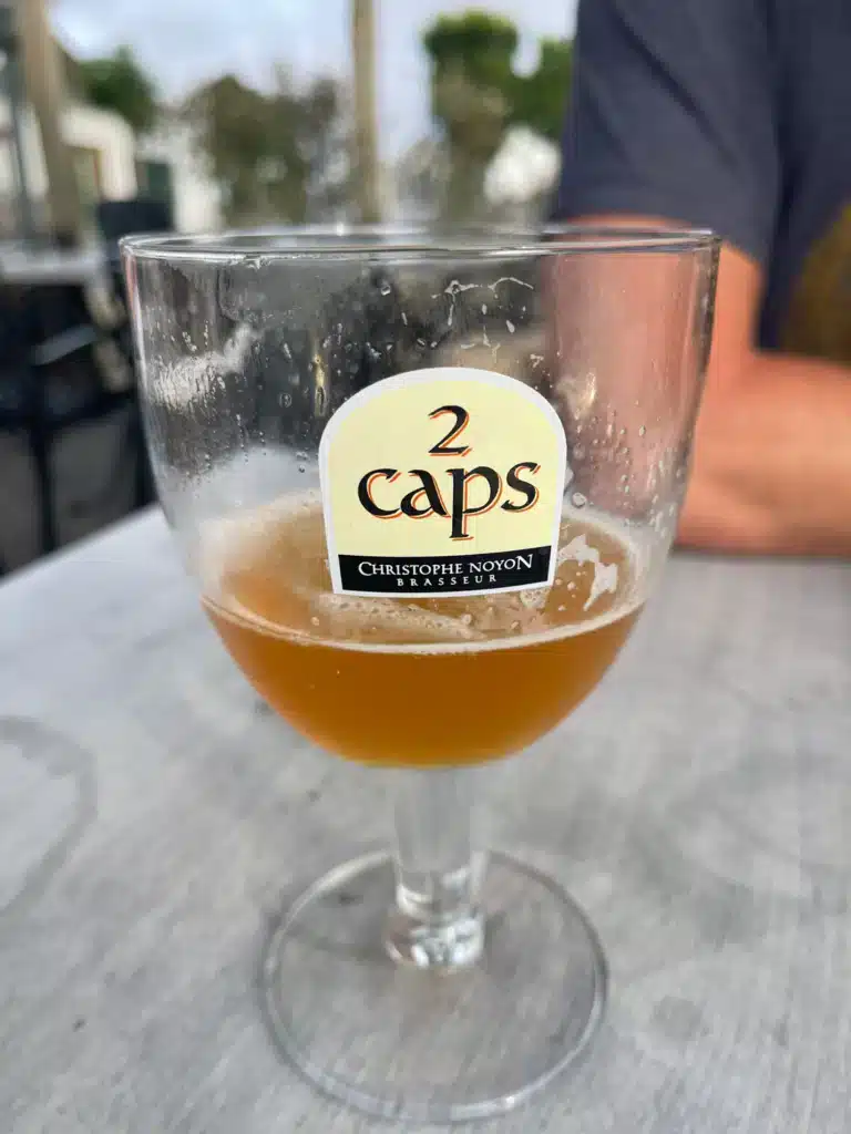
-Pepes Gelato and Le Caps Cafe



Day 2: Wissant to Ambleteuse, 17 km
The best walking day of the three, in my opinion. There are some things to be careful of and to know before you start your walk. This section is truly beautiful.
Cap Gris-Nez and the Erosion Reroute
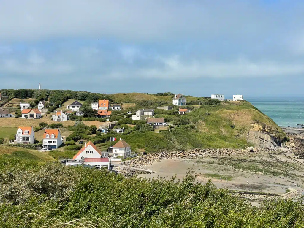
Cap Gris-Nez is the closest point in France to England, twenty-eight miles across. It’s also actively eroding, and the path has been rerouted away from the cliff edge in places. Follow the current waymarking rather than an old GPX. Ours was fine, but I saw where the old line used to run, and it’s no longer there.
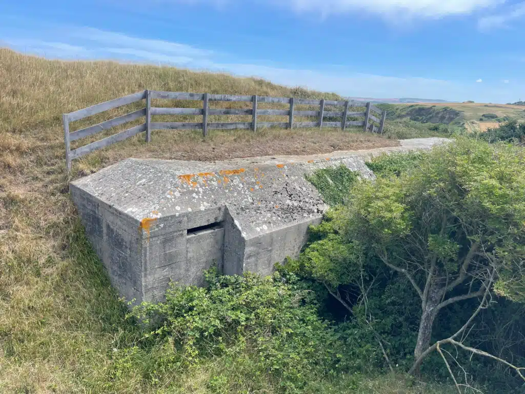
You’ll want to go to the Bunkers at the top of Cap Gris Nez; again, great for birdwatching, and as you approach the small town, it’s quite beautiful.
Lunch at Les Margats de Raoul, Audresselles
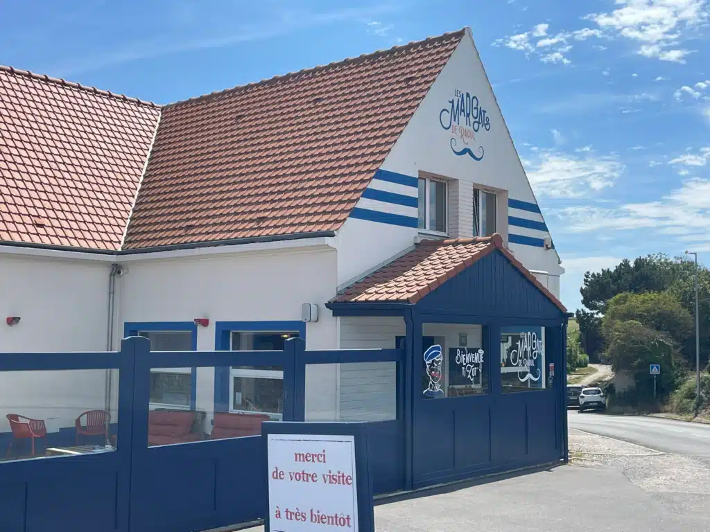
Audresselles is a small fishing village about halfway through the day, and Les Margats de Raoul is the reason to stop there. Seafood, unfussy, exactly the right thing at the exactly right point in the walk.
Address: 685 Rte du Cap, 62179 Audinghen, France
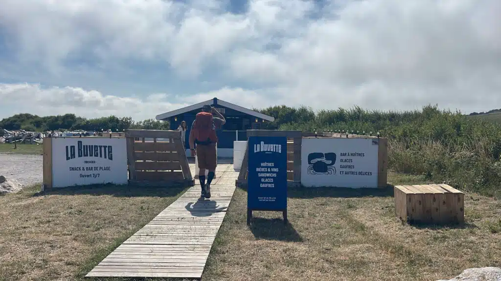
There are plenty of food trucks in Cap Gris-Nez; keep your eyes out for them!
The Tide Decision Near the Slack Dunes
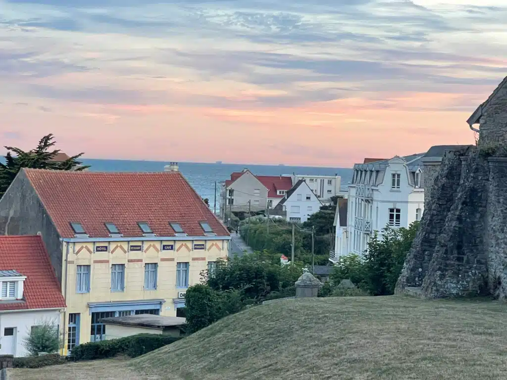
As you come into Ambleteuse, you’ll reach the Plage Dunes de la Slack, and here the route genuinely depends on conditions. At low tide, you walk the beach. At high tide, you’re routed inland through the dunes, which is slower and much harder underfoot.
Komoot tried to send us the wrong way here. Check the tide times in the morning before you leave Wissant, and trust the waymarking over the app.
This is also where I decided my boots were the wrong shoes. Deep soft sand and stiff boots don’t get along.
The Bee Sting
Somewhere that day, I got stung. I had sting relief pads in the pack, which turned it from a problem into an inconvenience. Pack your Emergency med kit!
Where to Stay in Ambleteuse
Ambleteuse is small, and there aren’t many options. If you are planning on walking the GR120, here are my recommendations:
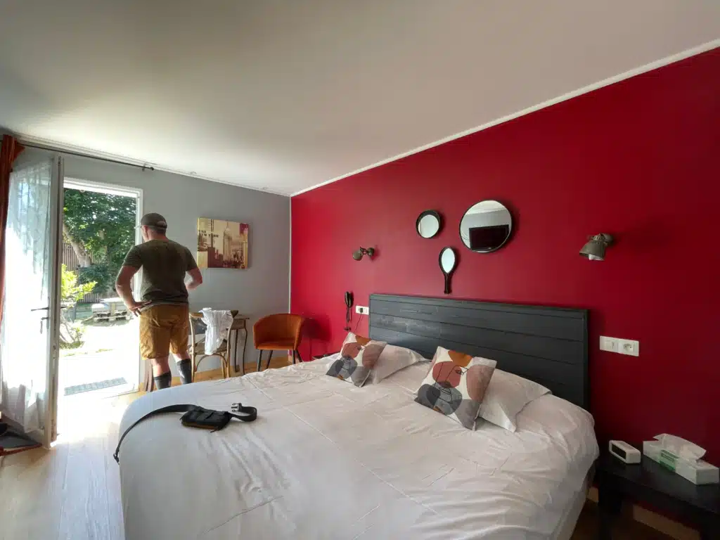
Where we stayed: Hôtel des Argousiers. This is an adorable little hotel and the owners are wonderful. However, keep in mind there is no AC, and we slept with the door open. Which was kind of awkward, considering people were walking by.
Nearby alternative: Village Vacances Le Cap d’Opale, which is a bit more upscale
If you’re there on a Sunday, Fort d’Ambleteuse out in the water is open to visitors. Any other day, you can only look at it.
Dinner in Ambleteuse
While Ambleteuse has plenty of places to eat, we chose a restaurant we really didn’t like; I won’t mention it here. Please note that you’ll need to make restaurant reservations.
Day 3: Ambleteuse to Boulogne-sur-Mer, 13.6 km
A short, easy, slightly anticlimactic finish, and I mean that kindly. Eight kilometers after two long days feels like a lap of honor.
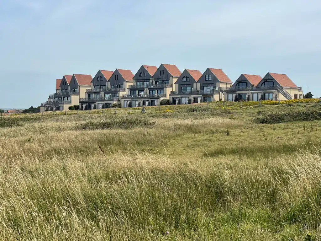
I switched to my Keens for this day and should have done it sooner. You have to walk through dunes on this section; it felt never-ending, and to be honest, I hated this portion. It’s a real workout for your legs, and on a hot summer day, it’s pretty beastly.
Take the seafront option near the Fort!
Wimereux and the Belle Époque Seafront
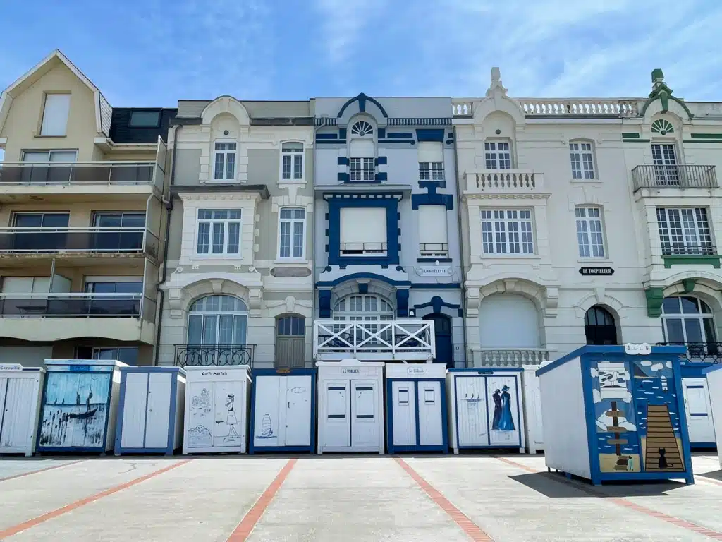
Wimereux is the highlight of Day 3. The seafront is lined with Belle Époque villas in colors you wouldn’t dare paint a house at home, and it feels like a resort town that never quite stopped being one.
Slow down here. You’ve got the time.
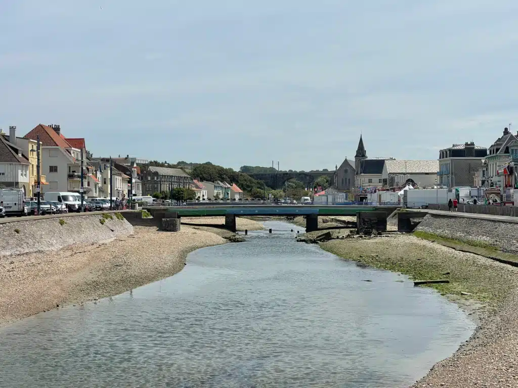
Lunch at Baïa
Right on the Wimereux seafront. You can’t miss it.
Arriving in Boulogne-sur-Mer
The last stretch into Boulogne is more industrial than what came before, and the finish isn’t dramatic. You walk into a working port town rather than out onto a headland. I was done by the time we made it to Boulogne-sur-Mer.
One thing I did love the graffiti and seeing how beautiful it was from the cliffside. I was just done and felt stiff and tired, and my leg was killing me.
I got properly sunburned on this day, on the shortest walk of the three, because I’d stopped being careful. Reapply your sunscreen when you can.
Where to Stay in Boulogne-sur-Mer
Where we stayed: Ibis Styles Boulogne Center Cathédrale. Functional, central, near the Ville Haute, and completely unmemorable. That’s fine after a long trek. If you’re staying two nights and want something with more character, pick somewhere in the old town within the city walls.
Budget: ibis budget Boulogne-sur-Mer Centre Les Ports, or B&B Hotel Boulogne-sur-Mer Centre Les Ports. Both are near the port, both a walk uphill to the old town.
Splurge: Hôtel La Matelote on Boulevard Sainte-Beuve, seafront, across from Nausicaá, with a small spa.
Give yourself a full extra day here if you can. The walled Ville Haute and Nausicaá both deserve more than a tired afternoon.
How Long Does the GR120 Take?
This section takes three walking days: 20.4 km, 17 km, then 8 km. Four nights of accommodation, five if you add a rest day in Boulogne. The full GR120 runs much further down the coast, so what you’re doing here is a section, not the whole trail.
Total Distance of the GR120
The GR120 runs roughly 300 km along the northern French coast, from La Panne on the Belgian border down to Le Tréport in Seine-Maritime, where it hands over to the GR21 and continues along the Normandy coast. Sources quote anywhere from 181 km to 305 km, simply because different guides start and finish in different places. If you see a shorter figure, check the endpoints before you plan around it. The trail is also known as the sentier du littoral or the sentier douanier, because customs officers once patrolled it watching for smugglers, and it forms part of the E9 European coastal path. The three days covered in this itinerary, Calais to Boulogne-sur-Mer, are a 51 km stretch through the middle of it. That is about one sixth of the whole trail, and it is the section with the cliffs.
How Long Is the GR120?
| Section | Towns Along It | Roughly |
| Flanders dunes | La Panne, Bray-Dunes, Dunkirk, Gravelines | 60 km |
| Côte d’Opale cliffs | Calais, Wissant, Ambleteuse, Wimereux, Boulogne-sur-Mer | 51 km |
| Southern Opal Coast | Le Portel, Le Touquet-Paris-Plage, Baie d’Authie | 80 km |
| Picardy and Alabaster coast | Baie de Somme, Le Tréport | 110 km |
| Full trail | Belgian border to Normandy | 300 km |
How Difficult Is the GR120?
Moderate, and the difficulty is entirely about distance rather than terrain. There’s no scrambling, no exposure, and nothing technical. The climbs at Blanc-Nez and Gris-Nez are short. What gets you is 20 km in open sun with a full pack on day one.
If you can comfortably walk 20 km on a training day carrying what you’d carry here, you’ll be fine. Full breakdown in How Difficult Is the Côte d’Opale Trek, Really? (coming soon)
Is the GR120 Part of the Via Francigena?
Partly. The Calais to Wissant stage is also the opening French stage of the Via Francigena, waymarked as the GR145. From Wissant onward, the two routes separate.
Read all about my weekend on the Tuscan Via Francigena and what to pack for the Via Francigena Toscana
When Is the Best Time to Walk the Côte d’Opale?
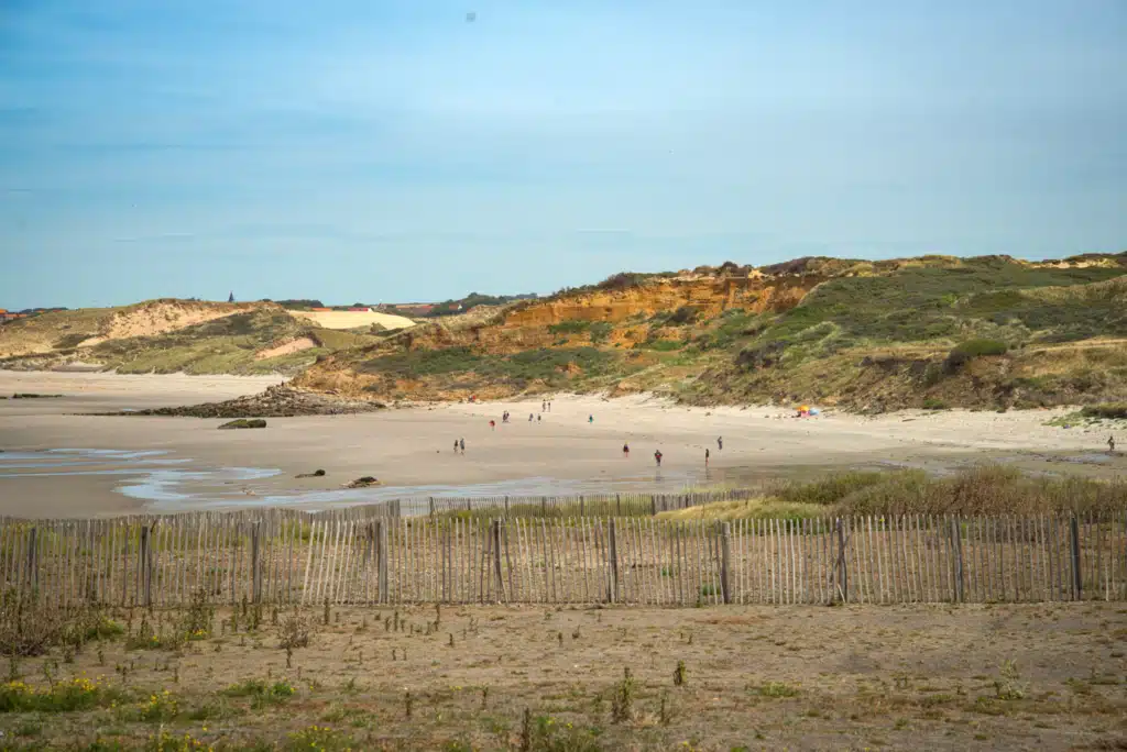
If you’re wondering about the best time to walk the Côte d’Opale, I would personally choose spring or fall for an inn-to-inn walking experience.
The Côte d’Opale has a much milder coastal climate than southern France, but that doesn’t necessarily mean summer hiking will feel cool. July and August are the warmest and busiest months along the Côte d’Opale, and after several hours of walking each day, even moderate summer temperatures can feel hot.
I would also consider your accommodation when planning a summer trip. Smaller hotels and guesthouses may not always have air conditioning, so check before booking if that is important to you.
For hiking, I think late spring and early fall offer some of the best conditions on the Côte d’Opale. You still need to prepare for coastal wind, rain, and changing weather, but temperatures can be more comfortable for spending several hours on the trail each day. Late spring through early autumn is also generally considered the main walking season for the GR120 coastal route.
That said, the best time to hike the Côte d’Opale is also the time you actually have available. If summer is when you can take the trip, I wouldn’t tell you not to go. Start earlier on warmer days, carry plenty of water, check the forecast, and check whether your accommodation has air conditioning or a fan before you book.
What Should You Pack for the GR120?
You carry everything, so pack accordingly. What I’d flag as non-negotiable: electrolytes, because I was recovering from being ill and they made the difference on Day 1. Sting relief pads. More sunscreen than you think. And shoes you can walk sand in, which my boots were not.
I carried an Osprey 38L daypack, used my trekking poles more than expected on the cliff descents, and drank from a CamelBak rather than stopping to dig out a bottle.
Full list in What I Packed for the Côte d’Opale Trek (coming soon)
Can You Walk the GR120 / Côte d’Opale Trek Solo?
Yes. It’s well waymarked, you pass through villages regularly, and there are other walkers on the trail. I walked this one with my husband, but I’ve done four other self-guided treks alone, and this is one I’d have been comfortable doing as a Solo female walker. You can read my review on walking and hiking with bookatrekking.com
How to get to the starting Point and ending point
Yes, and it’s simpler than driving. Calais and Boulogne-sur-Mer are both on the rail network. Check connections on Omio. We drove because we were coming from Belgium and wanted the car at the end, but you don’t need one.
If you plan to drive your vehicle to the finish line at the hotel, please call and ask first; don’t assume.
What Does the Côte d’Opale Trek Cost?
We spent roughly 50 to 70 euros a day on food and incidentals on top of the booked accommodation.
The self-guided Côte d’Opale Trek starts at €565 per person with Bookatrekking.com, and that was the biggest line on our bill. That price covered our four nights of accommodation with breakfast (Holiday Inn Calais, Hôtel de la Plage in Wissant, Hôtel des Argousiers in Ambleteuse, and Ibis Styles Boulogne Center Cathédrale), the route loaded into the Bookatrekking app, and their support if anything went sideways.
What it does not cover is everything else: there is no luggage transfer on this route, transport to Calais and home from Boulogne is on you, and lunches and dinners are not included.
We drove to Boulogne, parked at our final hotel, and took the train up to Calais to start, which cost us 30€ for the two of us plus 60€ parking.
Add roughly 50 to 70 euros per day for food and drinks, and our total for the two of us came to about € 350. For a three-day coastal walk with proper hotels every night, I thought that was fair value, and I would pay it again.
GR120 Updates for 2026
The Cap Gris-Nez path remains rerouted inland in sections due to cliff erosion, and the waymarking reflects the current line rather than older GPX files. Check this official source for info.
Are three days on the Côte d’Opale Worth it?
Three days on the GR120 was the right pace for what we wanted. Long enough to feel like a trek, short enough that we weren’t wrecked. The Via Francigena overlap was a genuine surprise, and I liked that this coast doesn’t oversell itself.
I say hiking the GR120 is absolutely worth it, and it’s a memorable first-timer inn-to-inn walk along the northern coast of France.
I hope whichever way you choose to do the GR120, you truly love it!