Is the Sass de Putia (Peitlerkofel) Loop hike Worth Your Time?
Last Updated on July 31, 2026 by Kimberly
Legend has it that on the July full moon, witches gather at Passo delle Erbe (Würzjoch in German, Jü de Börz in Ladin) to dance under Sass de Putia’s shadow, bonfires burning, music carrying across the pass late into the night.
The Hexentanz, they call it.
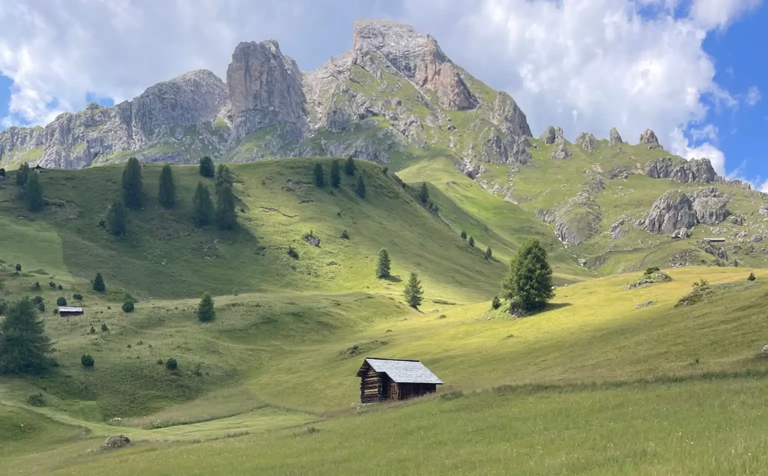
I can’t promise you’ll see any witches, but standing at the base of this solitary, two-headed peak, known as Sass de Putia in Italian, Sas de Pütia in Ladin, and Peitlerkofel in German, it’s easy to understand why the story took hold here. It doesn’t look like the rest of the Dolomites. It looks like it’s watching you.
That’s the mountain in the Dolomites you’re circling on this hike, sometimes called the Roda de Pütia in Ladin or the Rundweg Peitlerkofel in German, and here’s everything I learned doing it.
I’ve hiked Alta Via 1 short, Alta Via 2 short, the Palaronda Trek, and the MADE Trek, so when I tell you this circuit is worth your time, or when I disagree with the usual advice on which direction to hike it, it’s coming from someone who’s spent a fair amount of time on Dolomites trails, not just this one.
This Post Pairs Well With:
- Ütia de Börz Review: Is this Hotel in the Dolomites Worth It?
- Easy Day Hike From Passo Delle Erbe: Ütia de Börz to Maurerberghütte and Ütia de Pecol Loop
- 5+Things You Should Know About Driving in Italy
- A First Timer’s Guide to the Dolomites: How You Can Plan The Perfect Trip
Watch It: Sass de Putia on Video
The Route, In Order per a visual
Here’s exactly how the loop unfolds if you go clockwise like I did, starting from the parking lot right across from Ütia de Börz.
The Sass de Putia Circuit
Clockwise from Ütia de Börz · ~13-14.7km · 4.5-5.5 hours
Ütia de Börz
Start / trailhead, right behind the hotel
Fornella Alm
Highland cows · ~20 min from start
Hexenschlucht
Witches’ Gorge · ~15 min from Fornella
Ütia di Göma → Passo Göma
Pass-through, no stop · ~35 min
Ütia Vaciara
Lunch stop · ~45 min from Passo Göma
Forcella di Putia
Heavy final climb · ~1 hr 10 min from Vaciara
Back to Ütia de Börz
Steep ledges on the descent · ~1 hr 20 min
Timing estimates only, not GPS-logged. See the interactive Komoot map below for the real elevation profile and terrain.
Trail 8B to Goma at Fornella Alm
FROM FORNELLA ALM YOU ARE 1 HOUR AWAY FROM GOMA PASS
Not far into this stretch, I finally got an answer to something that had been nagging at me since check-in.
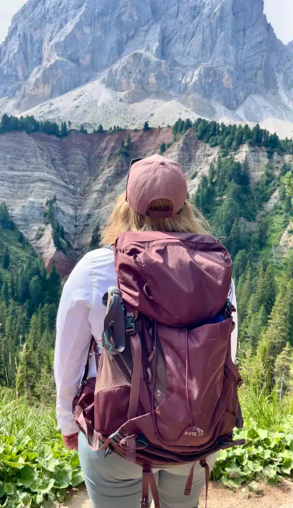
From my room at Ütia de Börz, I could see a strange band of rock peeking above the tree line, striped in dark rust-red and pale grey, and I’d spent a good part of my stay wondering what it actually was.
Turns out it’s the Gröden Formation, Permian-age sandstone, roughly 250 million years old, older than the limestone Dolomites rising above it. Seeing it up close on the trail, after staring at it from a distance for days, was kind of interesting. It makes for an interesting introduction to the trail you’re about to be on.
THIS IS YOUR FIRST PHOTOSTOP: You’ll want to stop and take pictures here. There’s a section next to a tree with some wicked branches radiating through the ground.
The hike opens easy, rolling out toward Fornella Alm, where you’ll likely run into a herd of highland cows that are shaggy, cute, and you have to keep your distance. My friend Karrie was not amused. While I sat there like ” LOOK, DON’T YOU SEE THE HAIRY COWS!”

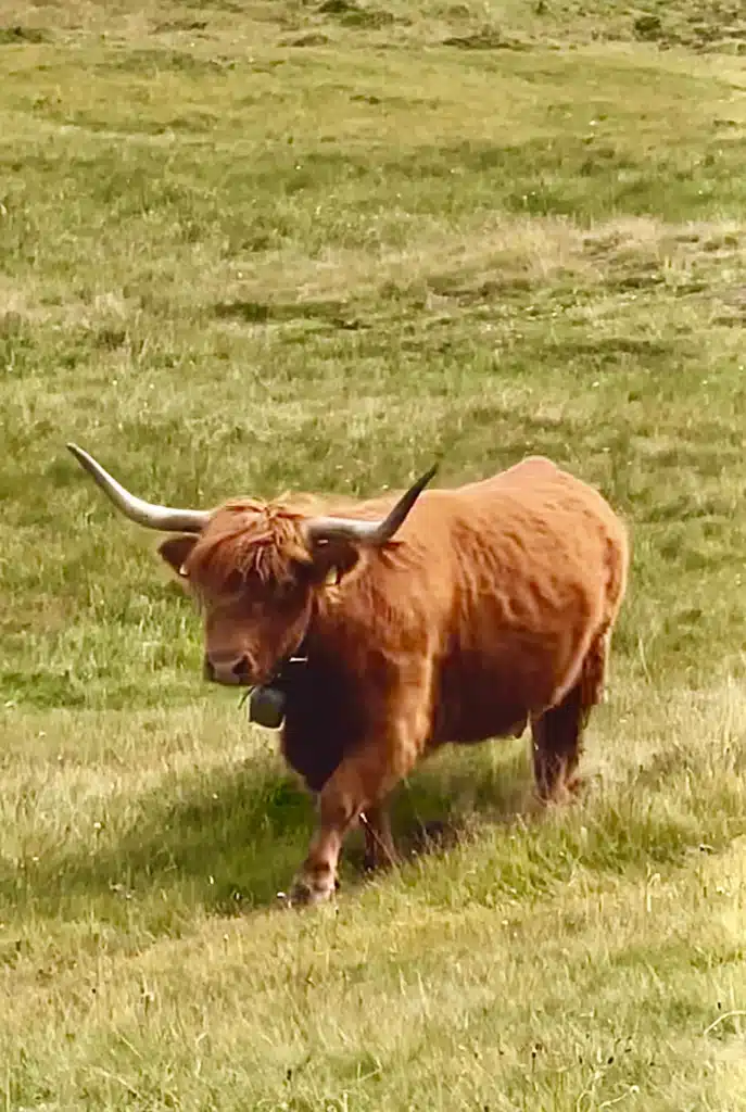
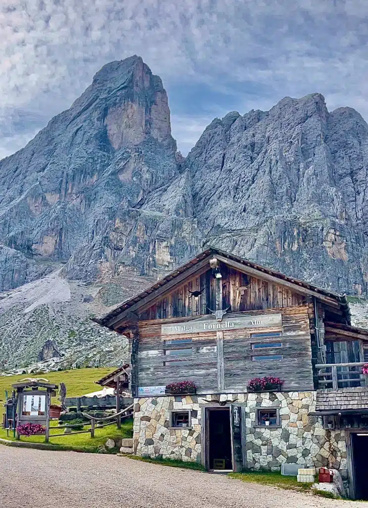
The Hexenschlucht (Witches’ Gorge)
You’re going to be walking through this area for a good 15-25 minutes

This is the part that ties straight back to that opening legend. Not far past Fornella, the trail narrows and drops into the Hexenschlucht, the Witches’ Gorge, and it earns the name.
The light changes here, the trees close in, boulders crowd the path, and the whole mood shifts from open meadow to something older and stranger.
This is supposedly where the witches of the Hexentanz legend were said to gather, and walking through it, cool and shadowed and a little eerie even in daylight, I understood exactly why that story took root in this specific stretch of trail rather than anywhere else on the mountain.
Roots stretch across the path in a twisting fashion. So watch where you are going. You’ll find trail markers equally spread throughout the trail.
Read more about the Legends of the Dolomites (this takes you to Stars and Stripes Europe; it’s an article I wrote )
Past Ütia di Göma and Over Passo Göma
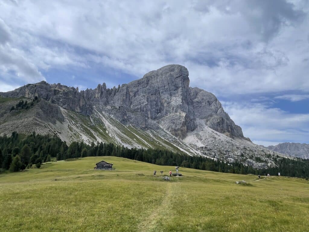 Coming out of the Hexenwald into this open meadow, with the peak looming large and Utia de Göma just ahead.
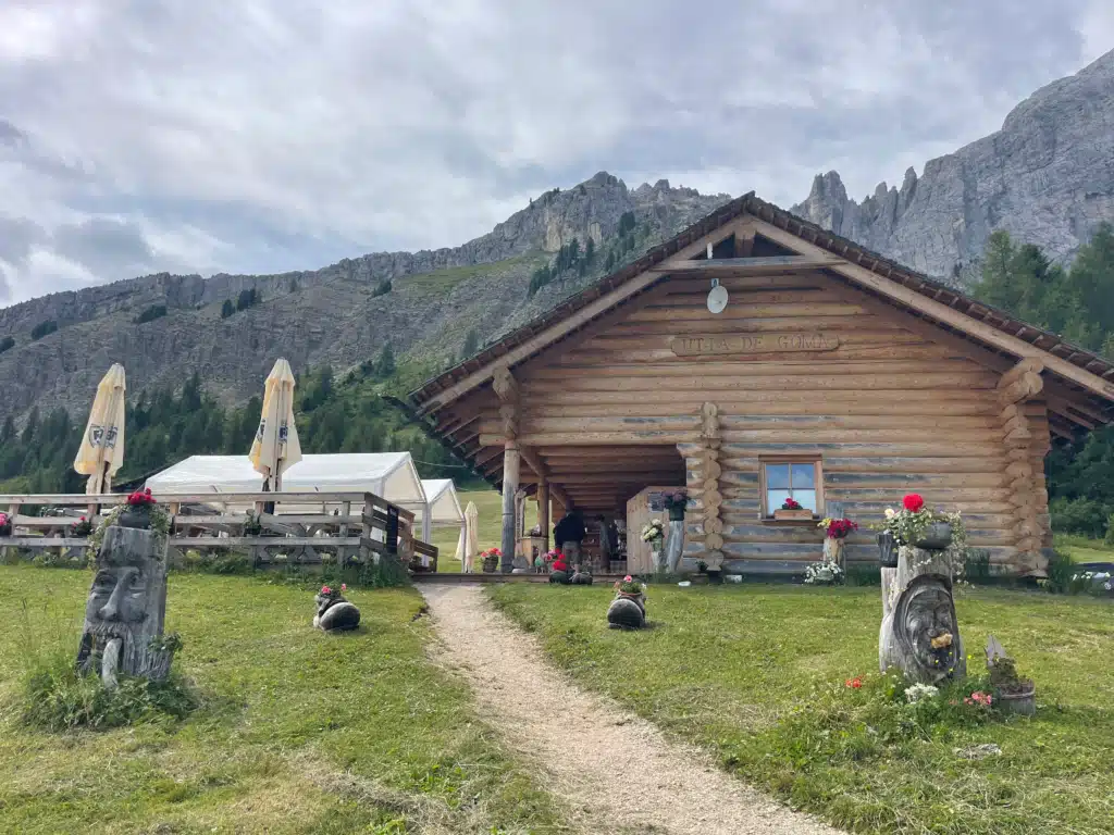 Utia de Göma, a welcome sight along the route with a full menu and mountain-carved character out front.
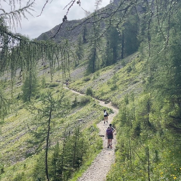 The climb up to Gomo Pass, alternating between larch forest shade and open switchbacks.

From the gorge, the trail continues on to Ütia di Göma. The trail starts to ascend alongside the mountain, and you gain elevation.
This is where folks who hate ledges will probably want to stick as close as possible to the right side. You’ll continue up to Passo Göma, where an eagle greeted us.
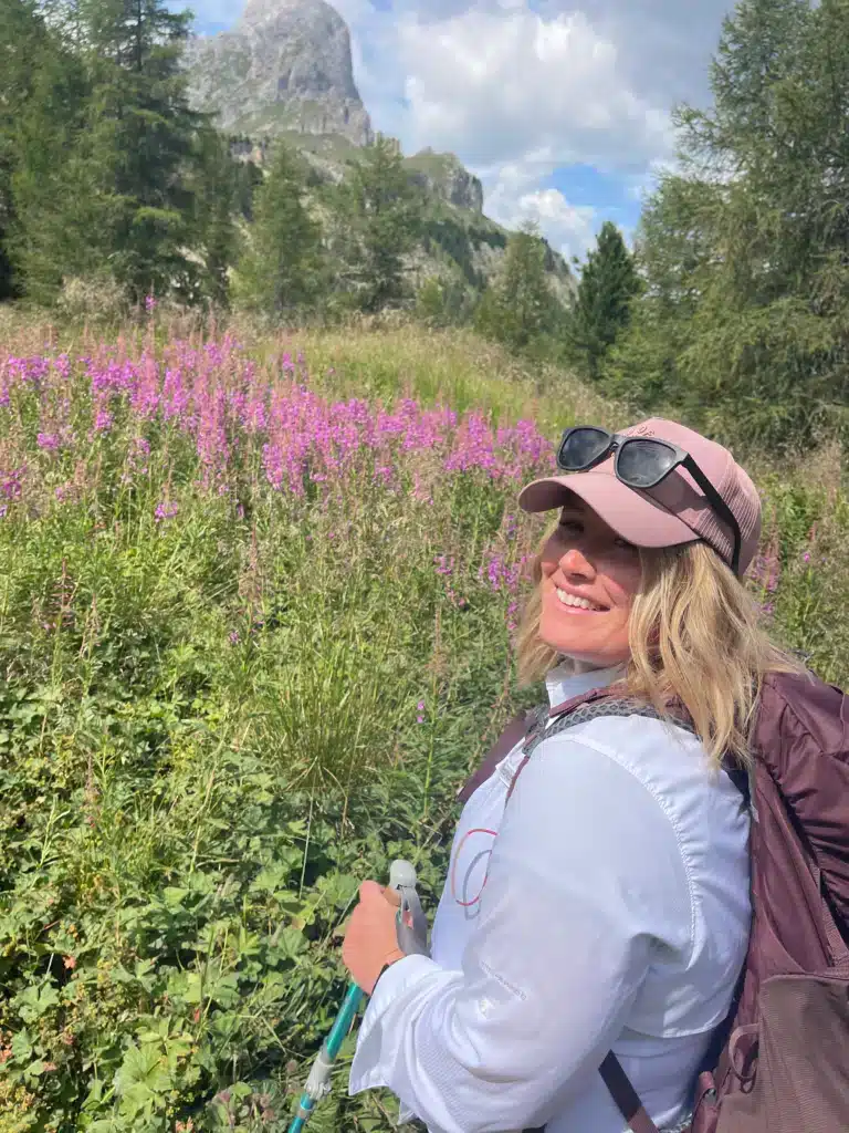
As you turn the bend, look to your right. If you are here during the wildflower season, you’ll get a stunning view of a small peak and some flowers. From here it’s about 2 minutes to the pass. Depending on how fast you hike.

From here, you have about 10 minutes to the Ütia Vaciara hut itself.
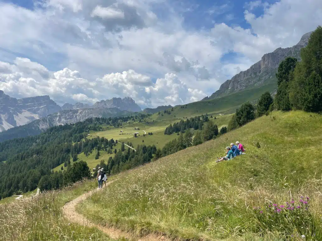
Once you reach this viewpoint, Sas dla Crusc really opens up, laid out like an amphitheater of Val Badia in the Dolomites. You can see all the good peaks from here. I could spot Lagazuoi in the distance, knowing soon I would be on its peak in the coming days.
We used this spot to grab water, reapply sunscreen (you will be more exposed once you are on this side of Putia), talked to a few other hikers, and took in the view.
Lunch at Ütia Vaciara (1 hour here)
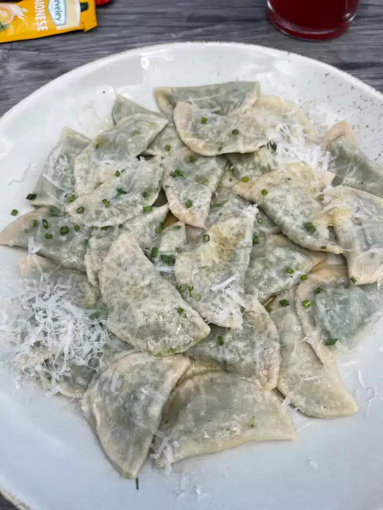

We stopped at Ütia Vaciara for lunch; it was getting close to that time.
I ordered a skiwasser and spinach dumplings. My friend ordered Wurstel and potatoes.
The hut serves a mix of Ladin, South Tyrolean, and Italian food, and it’s a genuinely lovely spot. One honest note: it’s communal seating, and the wait can get long in summer. If you’re hiking in July or August, build in extra time here, or plan to eat a little earlier or later than the lunch rush. I think I waited 20 minutes for the bathroom?!
Ütia Vaciara accepts cash and card
From here to the beginning of the steep push to Forcella Putia it’s about 45minutes
The Push to Forcella Putia 8B (Peitlerscharte / Forcela de Pütia)
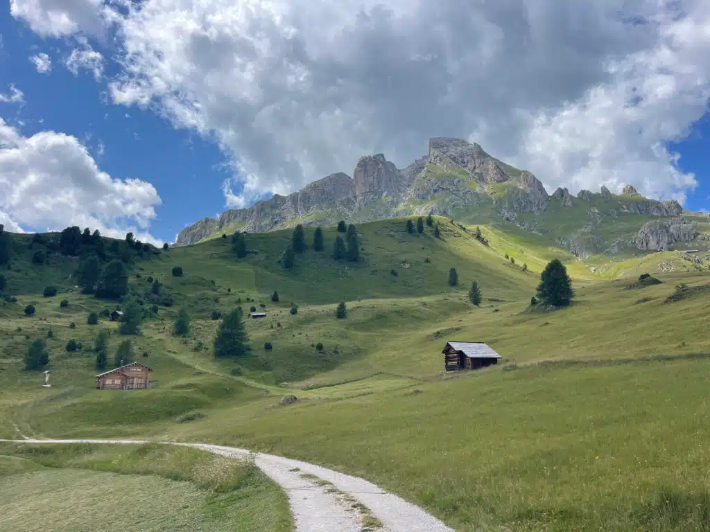

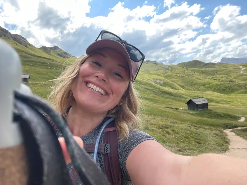


From Vaciara, the trail gradually climbs to Forcella di Putia; get those poles out.
Every once in a while, take the chance to stop and turn around. Look at the valley and beyond. Going clockwise, I hit it last, after everything else, and by that point I’d already found my rhythm.
The views from here are stunning, and you’ll spot Alta Via 2 trail signage at this point too, this saddle is where that long-distance route passes through, the same one that runs past Ütia de Börz down at the pass.
The Final Stretch Back on Roda De Putia
You’re an hour away from Passo Delle Erbe
Sorry not many pictures were taken here. I was so focused on getting down without a broken ankle.
After the saddle, the trail opens back into meadows again before those final steep ledges toward Passo delle Erbe. I won’t sugarcoat this part: it’s a genuine gut check. If I’m being honest, if this had been the first section of the hike instead of the last, I think I would have taken one look and turned around. Going clockwise meant I’d already built up momentum by the time I got here, and I needed that. Nothing about it requires technical gear, but pay attention to your footing, and don’t be afraid to slow down if you need to.
But this stretch meant something else to me too. In July 2024, I hiked a short section of the Alta Via 2, right after finishing a round of iron transfusions. I climbed up Forcella di Putia to Rifugio Genova that day, and it was brutally hard, one of the hardest things I’d done in a long time. Coming back now and walking down that same saddle felt like closing a loop that had nothing to do with the trail map. Three years in the making, and it felt like acknowledging who I was then against who I am now. That’s not something you’ll find in a trail description anywhere else, but it’s the truest thing I can tell you about this last stretch.
When to Hike Sass de Putia
The trail is generally hikeable from early June through late October, depending on snow. The huts along the route (Ütia Vaciara included) tend to follow the same window, open from early or mid-June until mid-October, though that shifts year to year with the weather.
I hiked this in summer, July to be exact, and while the light was beautiful, if I’m honest, I would have loved to see this trail in the fall instead, with the larches turning gold and that lower, warmer autumn light hitting Sass de Putia’s face.
If your schedule is flexible, October in the Dolomites is worth serious consideration; just keep an eye out for lingering snow in the gully sections, since that’s where it collects first.
Interactive Route Map
For a real, GPS-traced version of this route with an actual elevation profile, here’s a Komoot map of the loop.
One honest note: this particular Komoot route runs counterclockwise, opposite of the direction I hiked, so use it for the terrain and stats, not the turn-by-turn order if you’re planning to go clockwise as I did.
Should You Go Clockwise or Counterclockwise?
Honestly, either direction works, and you’ll see both recommended. Counterclockwise gets the hardest climb out of the way early.
Clockwise on Sass di Putia, what I did, saves it for when you’ve already found your rhythm and builds toward a bigger payoff at the end. Neither is wrong. Pick based on whether you’d rather struggle early or finish strong.
One more thing worth flagging: sources don’t even agree on how hard this hike is. Some rate it Moderate; Komoot’s own route data rates it Hard.
My honest take, having also done Alta Via 1, Alta Via 2, the Palaronda Trek, and the MADE Trek: it’s a genuine moderate-to-hard, not a casual stroll, but nothing here requires technical climbing skill either. Come prepared for real elevation gain, and you’ll be fine.
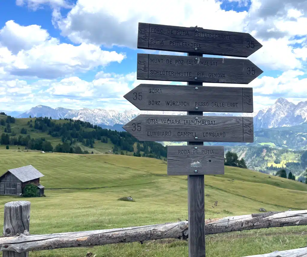
Names You’ll See on Trail Signs
This whole area sits in the Puez-Odle Nature Park (Parco Naturale Puez-Odle in Italian, Naturpark Puez-Geisler in German), and the trail signage out here mixes Ladin, German, and Italian depending on which side of the pass you’re on, which trips a lot of hikers up. Here’s the quick reference:
Names You’ll See on Trail Signs
Ladin, Italian, and German, same trail either way
Whichever name pops up on the signpost in front of you, you’re on the right trail.
More From This Base
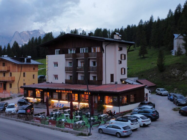
If you’re staying at Ütia de Börz for this hike, you’re in exactly the right spot; it sits directly on the pass where this circuit starts and ends. Check out my full review of Ütia de Börz if you’re still deciding where to stay, or my easy Maurerberg and Ütia de Pecol loop if you want a lower-key day to pair with this one.
What I Wore on This Hike: Inspiration
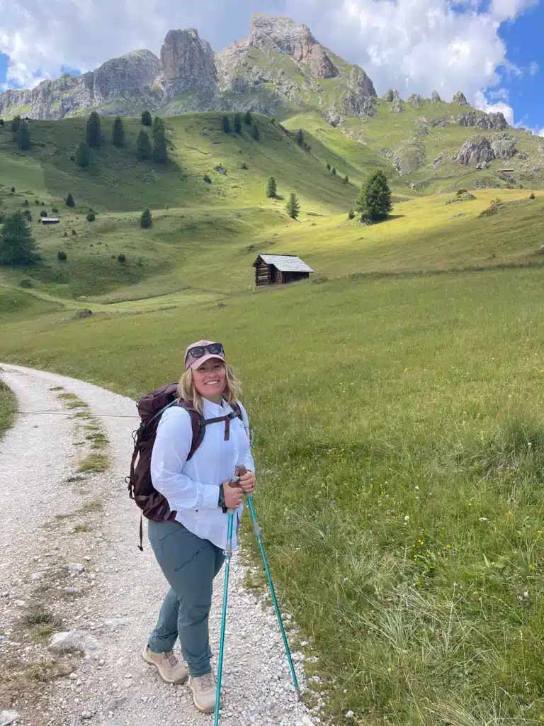
A quick note before you scroll: I live in Europe and do most of my actual shopping at Decathlon, so what I wore on the trail that day isn’t exactly what’s linked below. The Osprey Bag and the Mountainsmith hiking poles are the exact same, though.
Think of this as inspiration rather than an exact match; the pieces below will get you close enough to the look and function, even if my own gear has a different label on it.




Getting to the Sass di Putia trailhead
This goes without saying, but there are lots of ways to get to the trailhead:
Where to Park
There are two official lots at the Passo delle Erbe: the main one (Würzjoch/Börz), right across from Ütia de Börz, and a secondary overflow lot just below the summit at Pé de Börz.
- Expect to pay €8/day for a car at Passo Delle Erbe and €18/day for a campervan, with charges between 7 am and 2 pm, payable in cash or by card at the entrance.
- Arrive at Passo Delle Erbe after 2 pm, and parking is free for the rest of the day.
- Winter parking is generally free too. One important note: roadside parking along the Passo delle Erbe itself is strictly prohibited and carries heavy fines; stick to the official lots.
By Public Transport
This is genuinely one of the most convenient hikes in the Dolomites if you don’t have a car: the bus stop is right at the trailhead, at Passo delle Erbe (Würzjoch).
Buses run during Summer hiking season from towns like San Martino in Badia, Bressanone, and Brunico, though schedules are seasonal and thinner outside peak summer, so check suedtirolmobil.info before you go.
The downside is you need to be done before the last bus runs. As always, check the schedule in the app and take a screenshot before you lose signal.
Driving Directions to Sass De Putia
Here is how to get to Sass De Putia from Val Badia and Valle Isarco:
From Val Badia: A22 motorway, exit Bressanone–Val Pusteria, follow SS49 to San Lorenzo, then SS244 through San Martino in Badia to the final climb up to the pass.
From Valle Isarco: Three route options, via Luson, via Eores/Afers, or via Funes, all converging on the same final stretch up to Passo delle Erbe.
A heads-up either way: the final stretch is narrow and winding, shared with hikers on foot, buses, and farmers moving equipment or livestock. Go slow, and don’t rush the curves.
Sass De Putia Should be on your Dolomites Itinerary
Yes, this hike is worth it, witches or no witches.
Between the folklore, the views of Sas dla Crusc, and that final stretch of Alta Via 2 signage tying you into something bigger, this circuit earns its reputation.
Let me know if this helped you plan your own hike around Sass de Putia; I’d love to hear about it.
Frequently Asked Questions
Yes, if you have basic hiking fitness. The trail is well-marked throughout, and while there’s one genuinely demanding climb (the push to Forcella di Putia), nothing on the loop requires technical gear or climbing experience.
The easier sections, especially around Fornella Alm, are family-friendly. The climb to Forcella di Putia and the steep ledges on the final stretch are better suited to older kids with some hiking experience rather than very young children.
Expect a paid lot at the pass, typically collected in cash. If you’re staying at Ütia de Börz, you’re already parked right there.
Most guides recommend counterclockwise so you tackle the hardest climb first. I went clockwise and genuinely preferred it, see my full breakdown above.
It’s not crowded in the way some of the popular Dolomites sites are. Start early, and get ahead if you are driving to the pass.
Yes. Ütia de Börz sits right at the trailhead on Passo delle Erbe, and it’s genuinely the smartest base for this hike; you can start walking straight from the parking lot.
Yes! and if you want to find out more, here is the official site
.