How to hike to the Cascate Saent: The Perfect Fall Hike Near the Dolomites
Last Updated on September 6, 2026 by Kimberly
This has to be one of my favorite hikes I have done in Italy. Cascate Saent is a beautiful waterfall in Val di Rabbi, in Northern Italy, and I knew it would be the perfect place to see the fall colors. If you love impressive natural sights, the hike to Cascate Saent is especially rewarding in autumn.
So with that, my husband and I packed up the car and headed north from Vicenza with our dog, Bear. I’d seen the fall colors all over the place in the Dolomites, especially Lago Federa and in Veneto, so I was especially excited to see what the Cascate di Saent had in store for us.
Here’s how to hike the Cascate di Saent, whether it’s fall or summer, what the trail is actually like when the larches turn, and whether it’s worth the drive!
Where Val di Rabbi Is (and How Far It Is From the Dolomites)
Val di Rabbi branches north from Val di Sole in western Trentino, within the Parco Nazionale dello Stelvio. The upper falls sit at 1,820 m, at the headwaters of the Rabbi torrent.
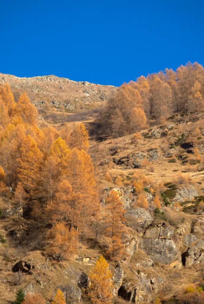
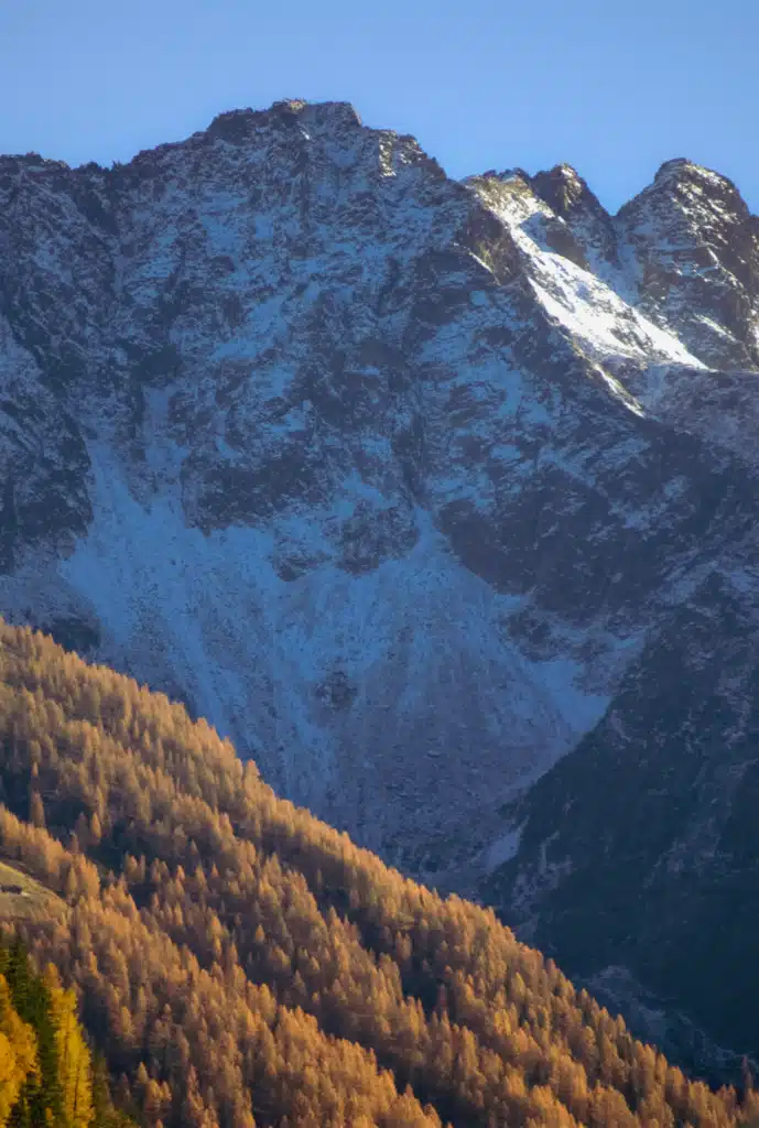
To be straight with you, this isn’t technically the Dolomites. Val di Rabbi belongs to the Ortles-Cevedale group, one range west. If you’re building a Dolomites trip in fall, though, it’s an easy add, and it stays quiet because almost nobody turns off the main road to find it.
Drive times to the Cascate Saent trailhead:
- Vicenza: 3 hours 7 minutes
- Verona: about 2 hours 30 minutes
- Ortisei: about 2 hours 45 minutes
- Venice: about 3 hours 45 minutes
- Cortina d’Ampezzo: about 3 hours 45 minutes
Best recommendation is to stay nearby because the drive is so long. Madonna di Campiglio would be the best area to stay as it’s a bigger town and has many accomodations available to you.
Be Honest With Yourself About the Drive
This is the only real downside, so I’ll say it plainly. It takes a while to get here. Three hours each way from Vicenza means a full day, and if you’re staying in the Dolomites proper, you’re looking at a similar commitment.
Nothing about the drive is difficult. It’s mostly autostrada until you turn off and start climbing the valley road. But go in knowing it’s a day trip, not a quick stop, and leave early enough that you’re not walking out in the dark. In November the light goes fast.
cascate Saent Hike: Distance, Time, and Difficulty
You start from the Fontanelle car park, also signed Al Coler, at about 1,375 m, and follow trail 106 upstream. It’s a wide forest road at first, easy enough that we passed families with strollers on the lower stretch.
Two trailheads, and which one you use depends on the season. When the upper road is open, drive to the Fontanelle car park at Coler (1,386 m), and the malga is about 20 minutes on foot.
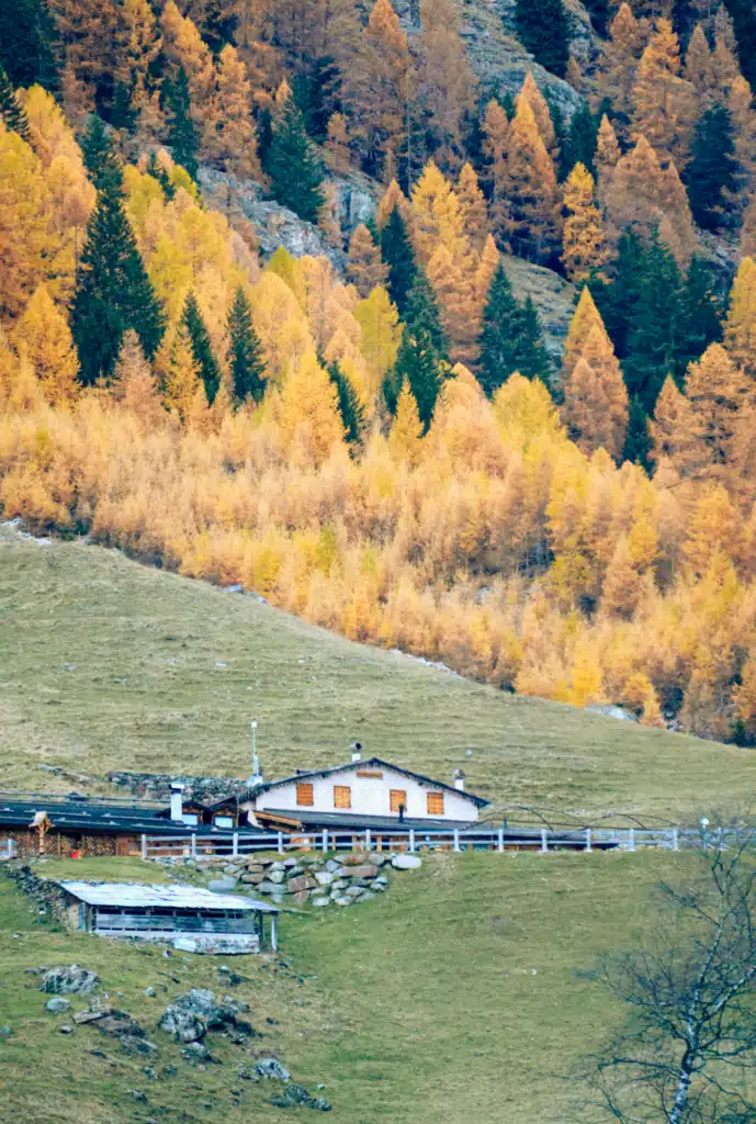
When the upper road is closed, you start lower down at Plan and walk up through the woods along the left bank of the Rabbies, past Rifugio Al Fontanin, which takes just over an hour and a half to Malga Stablasolo at 1,539 m.
Check which car park you can reach before you plan your timing.
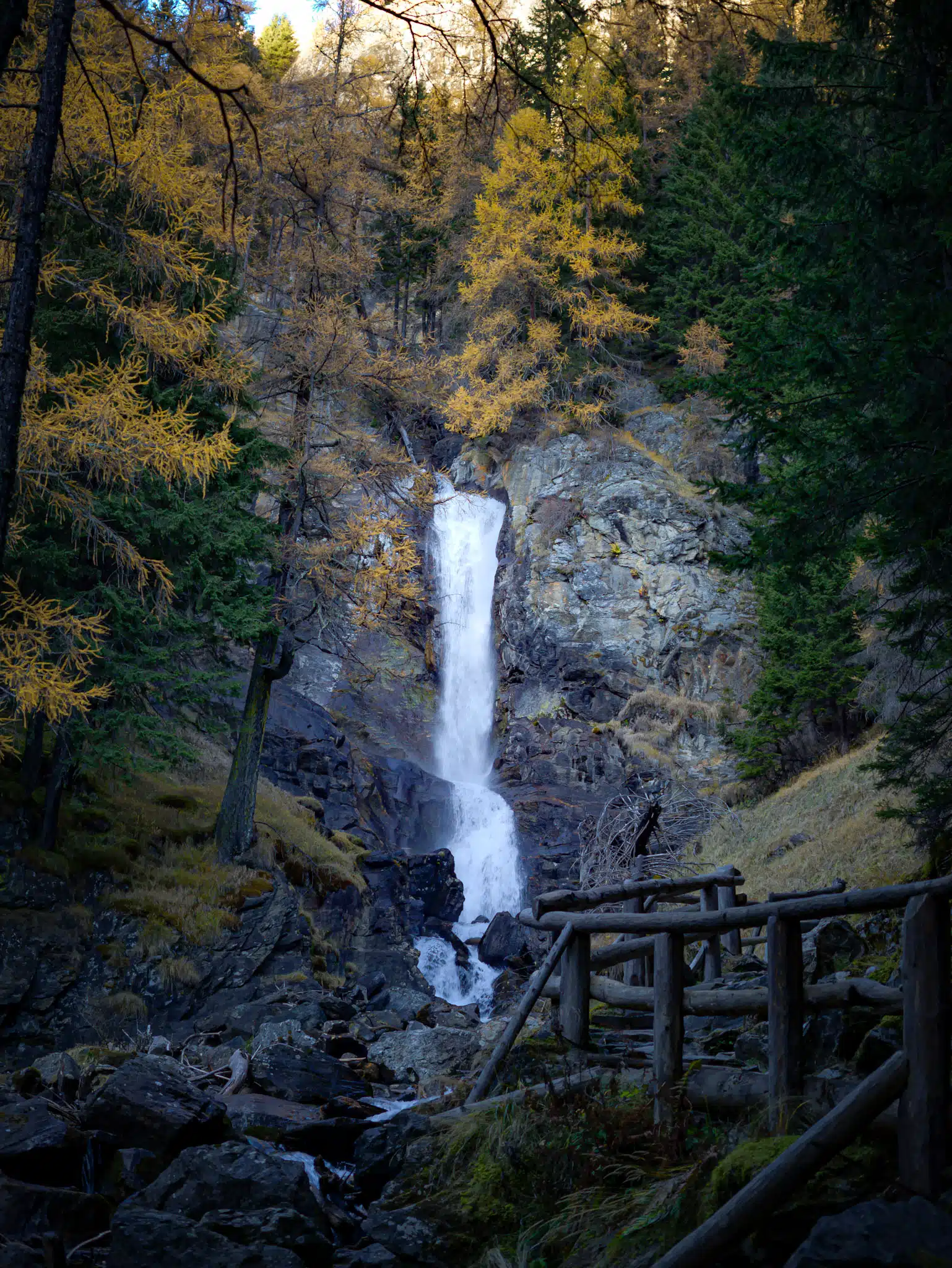
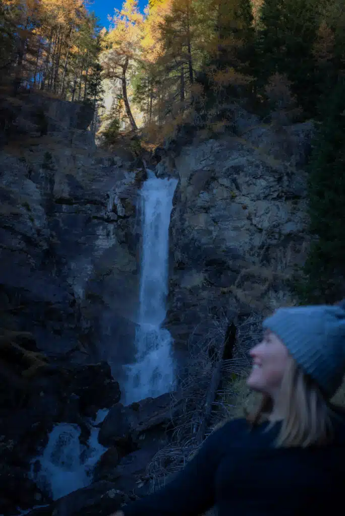
Past the malga, the trail narrows and starts climbing toward the water. The falls come in tiers, and the path crosses a bridge between them at the viewpoint everyone photographs.
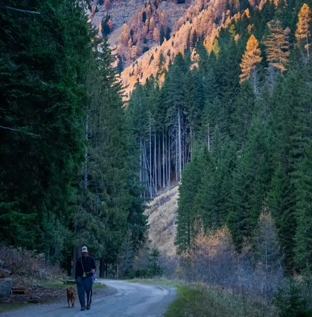
We had to take our time because our dog Bear is a bit slow in her old age, but nonetheless the walk from the car park was absolutely stunning. The bear signs were probably the most alarming, and I was on pins and needles.
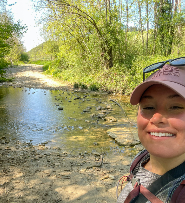
What I loved most about this hike is that it’s easy; you start by following a small trail up the side of the river, and you can walk up either side. It doesn’t make or break your walk. We had to keep Bear’s needs in mind.
The elevation felt easy enough, and I didn’t have any issues walking up the road. Neither was Bear.
I brought my Sony A7II so I could take pictures and document the beautiful fall colors. We stopped at an Autogrill on the drive to Cascate Saent and had 2 sandwiches; we ate at a picnic table and took in the sounds of the river.
There was hardly anyone on the trail to Cascate Saent, which made this all the better. A crew was doing some work on the road, but other than that, it felt like we were the only ones.
In Summertime, I have read reports of this trail being busy. So keep that in mind.
How long does the Cascate Saent hike take?
About 2.5 hours round trip with photo stops.
It’s roughly 20 minutes to the malga and another 45 minutes or so from there to the falls, so a little over an hour each way if you’re doing the out-and-back as we did.
If you continue past the falls to Alpe Pra di Saent and the Scalinata dei Larici Monumentali, a stepped path through centuries-old larch trees, that version runs about 9.3 km and takes 3 hours 40 minutes. If you have the daylight, do it. We didn’t.
How hard is the hike to the Saent waterfalls?
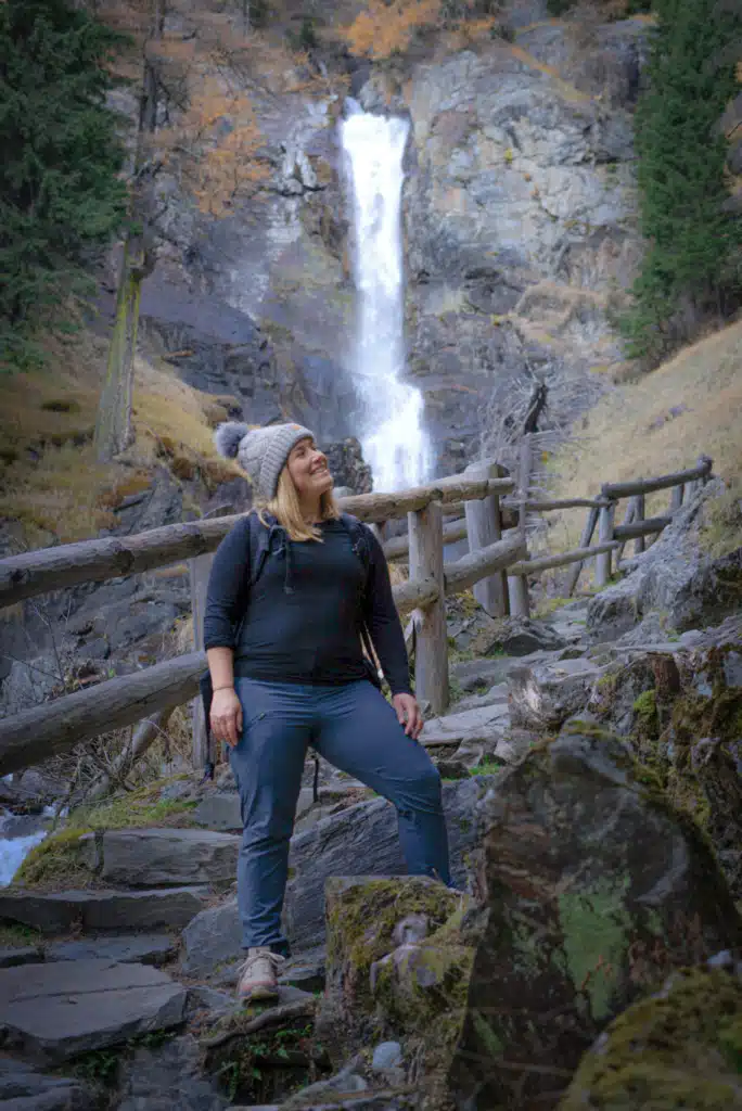
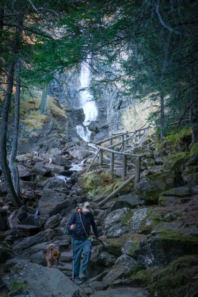
Easy to moderate. No exposure, no scrambling. The section nearest the falls has a timber railing along the drop and cut stone steps built into the slope, so it’s more engineered than most Italian mountain trails I’ve walked. That’s part of why families do it. I did the whole thing in my Salomon hiking shoes rather than boots.


Best Time to See the Larches in Val di Rabbi
Most sources will tell you the larch window in Trentino runs mid-October to the first few days of November. Based on what I saw, that’s conservative.
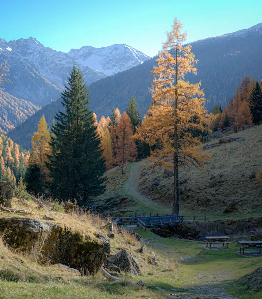
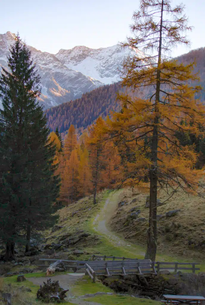
We hiked on November 10, and the larches were deep orange. Not fading, not past it. Full color, with the slopes above the valley completely lit up.
That’s later than the standard advice, and it’s the kind of thing you only learn by going. Val di Rabbi runs a bit behind the higher Dolomite valleys, so if you’ve missed the color further east, it may still be holding here.
Two caveats. Larch timing shifts every year with temperature, so treat November 10 as evidence, not a promise. And by mid-November you’re losing light by four in the afternoon, so a later trip means an earlier start.
Either way, the hike to the Cascate Saent is BEAUTIFUL. So if you do this hike in the summertime, you’ll still see some beautiful colors.
Hiking the Cascate Saent in Summer
So I know this is about a fall hike, but I want to mention Cascate Saent in the summertime.
Parking works completely differently. This is the big one. From late June to early September, the Fontanelle car park closes to traffic between 9:45 and 17:00. In 2026, that ran from 27 June to 6 September.
During those weeks, you leave the car lower down at Plazze dei Forni and take the shuttle up. So either arrive before 9:45, or plan around the shuttle timetable rather than assuming you can drive to the trailhead the way you can in autumn.
The shuttle also runs higher up. In summer there’s a service toward Malga Stablasolo, which cuts the first 20 minutes off the walk. Useful with kids or if you want to save your legs for the steeper section above the malga.
This is the official link to the shuttles, so you can plan it out accordingly!
Early summer carries snowmelt off the Ortles-Cevedale peaks, so the falls run harder in June and July than they do in November. If the waterfall itself is what you came for, that’s the stronger season.
Malga Stablasolo is actually open. From early June to late September or early October, it runs daily, which is the only stretch of the year you can count on it without checking a calendar. It’s also when it’s producing its own dairy. Time your descent so you’re there for it.
The longer loop becomes realistic. With daylight until nine, you can continue past the falls to Alpe Pra di Saent and come back down the scalinata dei larici monumentali, the stepped path through the centuries-old larches. That version runs about 9.3 km and 3 hours 40 minutes. In November we didn’t have the light for it. In July you do.
Bears are awake. They den through winter and are active all summer, so the trailhead rules matter more in July than they did on our November hike. Same rules, higher stakes. Read the section below.
And it’s busier. A trail this accessible, inside a national park, with a shuttle running to it, is not a quiet walk in August. If crowds are what you’re avoiding, that’s the argument for going in autumn instead.
Which season should you pick? Summer for volume of water, long days, the full loop, and the malga at its peak. Autumn for orange larches, an empty trail, and the ability to drive straight to the trailhead. I’d do it again in October or November without hesitating, but I understand why summer is the default.
Cascate Saent Parking and How to Get There
Drive up through Rabbi Fonti and follow signs for Cascate Saent to the Fontanelle car park.
Here’s the fall advantage: From late June to early September, that car park closes to traffic between 9:45 and 17:00, and you leave the car lower down at Plazze dei Forni and ride a shuttle up. In 2026, the shuttle ran from 27 June to 6 September.
Outside those dates, you can drive straight to the trailhead, which takes a real chunk out of the day.
The trade-off is that the shuttle up to Malga Stablasolo isn’t running either, so you walk the whole thing.
Check current dates on the Stelvio National Park site before you go.
Without a car, Trentino Trasporti runs buses from Malè up into the valley. Honestly, though, this is a drive-yourself hike.
What to Pack for the Cascate Saent Hike
Nothing technical. Footwear matters more than anything else, because the rock near the falls stays wet all day and gets slick.
Hiking shoes with real tread, trekking poles for the descent, a rain shell you don’t mind getting sprayed in, my Osprey daypack, and warm layers. The valley falls into shade by mid-afternoon in November, and the temperature drops fast once you lose the sun.
Hiking to Cascate Saent With a Dog
Bear did the whole thing on leash without trouble. The lower forest road is soft underfoot, and there’s water access most of the way, which matters more than people expect.
Two notes. The bridge decking near the falls can be slick for paws. And the leash rule here isn’t a formality, which brings me to the next section.
Please keep all DOGS ON LEASH!
Bear Safety in Val di Rabbi: What the Signs Actually Say
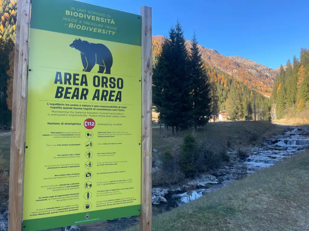
You’ll see the sign right at the start, next to the stream. It’s a big green board from the Provincia Autonoma di Trento, headed “Area Orso” and “Bear Area,” in Italian and English, with pictograms for each rule. The emergency number 112 is across the top.
Val di Rabbi sits inside the brown bear range. Trentino now has over 100 bears, the result of a reintroduction project called Life Ursus.
Ten bears were brought from Slovenia between 1999 and 2002 to save a population that had dwindled to a handful of animals. The project ended in 2004, and the population has since grown to roughly double what the original plan anticipated.
That growth has turned into a serious local conflict.
In 2023 a 26-year-old man was killed by a bear while running on a trail in this area.
In autumn 2024, residents of Val di Sole, Peio and Rabbi voted overwhelmingly in a non-binding referendum saying they considered bears and wolves a danger to public safety. The province has ordered culls of individual bears, and conservation groups have fought them in court. It’s still unresolved.
I’m not going to tell you what to think about that. What I will tell you is to read the sign and take it seriously, because the people who live here do.
Here’s what it actually says:
- Make some noise. Talk loudly and make your presence known while you hike
- Always keep your dog on a leash
- Don’t leave food or litter that could attract bears
- If you see a bear and it hasn’t noticed you, go slowly and quietly away
- Don’t hang around to film or watch it
- If a bear sees you, wait for it to move off before you carry on. Don’t follow it, even in a car
- If it shows signs of aggression, move away slowly. If it runs toward you, stay still. Don’t run and don’t shout
- If a bear makes physical contact and you fall, lie face down with your hands over the back of your neck. Get up only once it’s gone
Now the reassuring part. Actual encounters are extremely rare, and the province’s own monitoring makes that point repeatedly.
We didn’t see a bear, and we weren’t expecting to. The sign is there so you behave sensibly, not because something is likely to happen.
Is the Cascate Saent Hike Worth It?
Yes. It’s a long drive for a 2.5-hour hike, and I’d do it again tomorrow. The trail is easy enough for almost anyone; the waterfall is genuinely loud and dramatic, and in the second week of November we had orange larches all the way up the valley.
If you don’t want to drive, stay at a local hotel in the area. That way, you can really enjoy the hike.
If you want ridgelines and big open views, this isn’t your hike, because it stays in the trees almost the whole way. If you want a short walk with a real payoff at the end, go.