
How to Hike the Donegal Way: A Perfect Guide to your time in Donegal County, Ireland
There’s a reason hikers and quiet souls alike find themselves pulled toward Donegal. It’s wild. Raw. Emotional. It humbles you in a way the more polished corners of Ireland can’t. When I set out to hike (or was it a walk?) a four-day section of the Donegal Way with Tailor Made Tours, I didn’t know it would become one of the most grounding solo hikes/walks of my life.
The views were vast, the roads empty, the weather unpredictable, and the moments of clarity unforgettable.
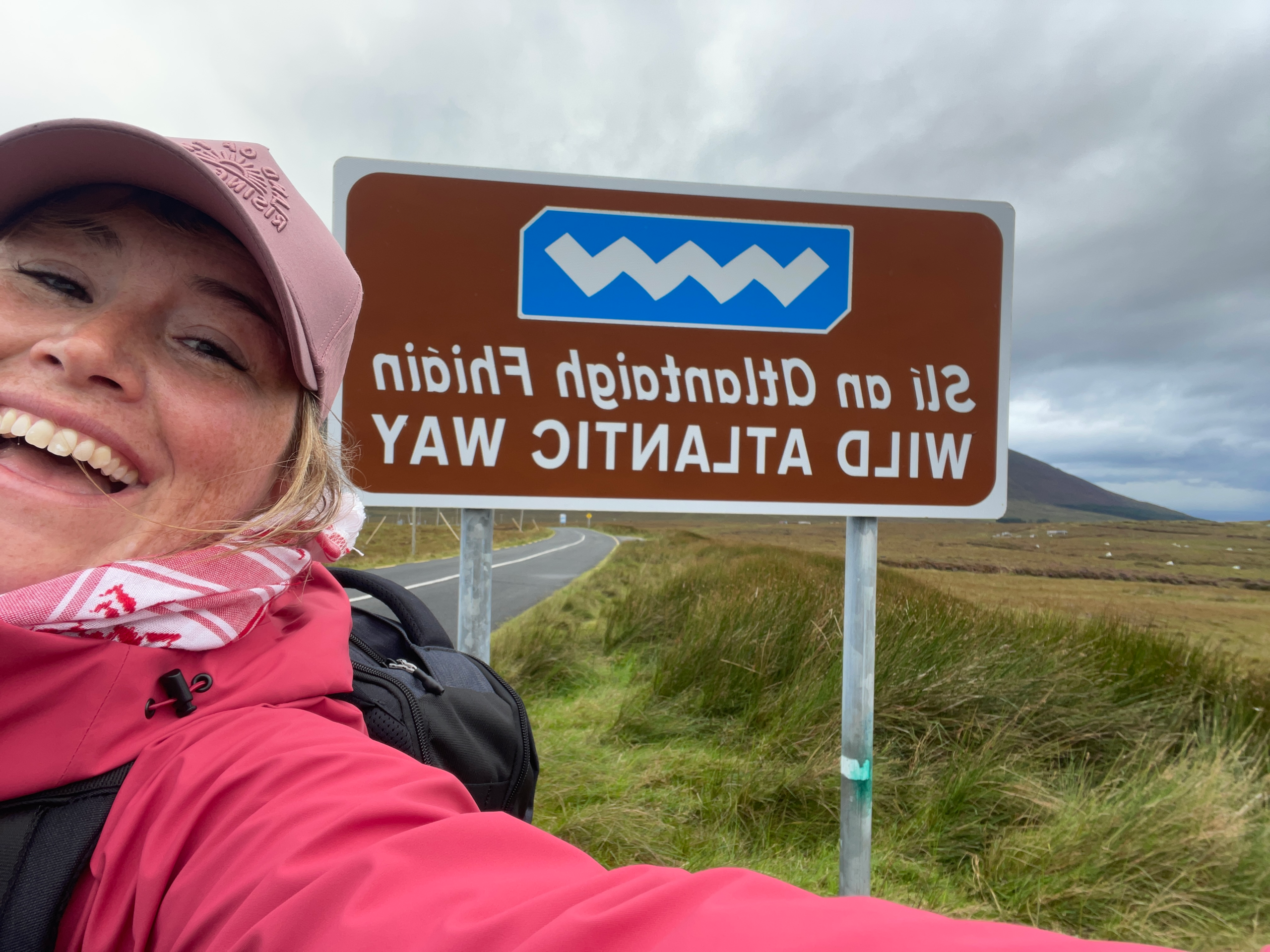
The route I followed began at Assaranca Waterfall and ended in the small town of Carrick, touching Glencolumbkille and weaving across parts of the Slí Cholmcille. With Tailor Made Tours handling the logistics, I could focus on the walk itself—the bog underfoot, the sea on the horizon, the rhythm of my own steps. Here’s what it was like to hike the Donegal Way solo.
This is a part of an 8-day Itinerary in Donegal County, Ireland, where I had the time of my life visiting lighthouses, breweries, and even a daytrip to Derry, Londonderry
Quick Guide: Donegal Way Hiking
What It Is:
A quiet, remote mix of walking paths linking parts of the Slí Cholmcille in southwest Donegal.
Why Go:
Big views, boggy ground, Irish-speaking villages, and long stretches of solitude.
Difficulty:
Moderate. Expect uneven, wet terrain and fast-changing weather.
How Long:
3–4 days for the Assaranca → Glencolumbkille → Carrick → Slieve League section.
How to get to Donegal: I took the Express Bus from Dublin
Best For:
Hikers who want a wild, cultural, low-crowd route.
Visual Guide: My Donegal Way Hiking Route
Here’s the stretch of the Donegal Way I walked — a quiet, scenic route linking Assaranca Waterfall, Glencolumbkille, Carrick, and Slieve League.
What Makes the Donegal Way Special
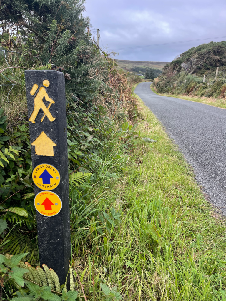
The Donegal Way is not a single unified trail like the Camino or the West Highland Way. It’s a network of connected walking paths, parts of which are waymarked under the Slí Cholmcille or Bealach na Gaeltachta. That means you’re walking a cultural and linguistic corridor—a path layered with history, saintly legends, famine-era ruins, and modern-day Irish-speaking communities.
Most of the way is quiet. You may go hours without seeing anyone. And that’s exactly what makes it so moving. If you’ve ever longed for solitude with purpose—not just wandering, but walking toward something—Donegal gives it to you.
How I Planned My Hike
I partnered with Tailor Made Tours, an Ireland-based company that specializes in self-guided hiking logistics. They arranged everything: my lodging, luggage transfers, trail notes, and even my shuttle to Assaranca Waterfall. As a solo traveler, it was the perfect compromise between independence and support. I didn’t have to figure out how to get my bag from Glencolumbkille to Carrick while trekking through rain and bog.
I started in Donegal Town, staying at the Railway Lodge. From there, I took the bus to Ardara and was picked up by my porter for the waterfall trailhead. My luggage would meet me at my next B&B. The hike unfolded over four days, with accommodations in Glencolumbkille and Carrick, and a dramatic finish at the Slieve League cliffs.
Day One: Assaranca Waterfall to Glencolumbkille
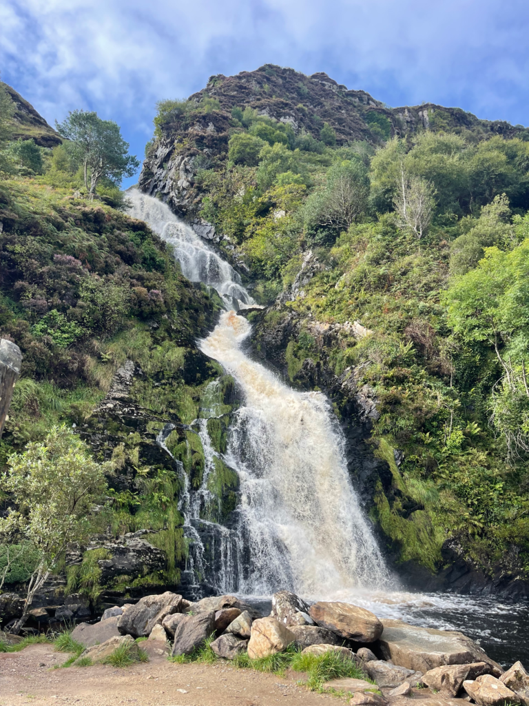
Bright and maybe a little nervous, I was dropped off at the trailhead. Before I got out of the car, the porter asked me, “You’re hiking solo, aren’t you nervous or lonely?” I said, ” No, I love this, it’s me and my thoughts, I am away from my phone, and I rely on me.” With that, she dropped me off, and the hike began with a thunder of water. Assaranca Waterfall pours down the cliffside just outside Ardara, feeding into Maghera Strand and the estuary of the Bracky River. For a moment, it felt like I was on a film set—green hills, a quiet road, and the Atlantic lurking just beyond.
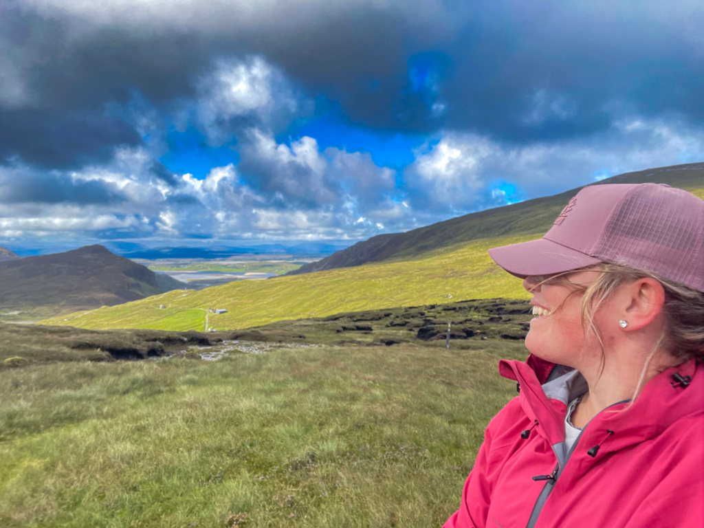
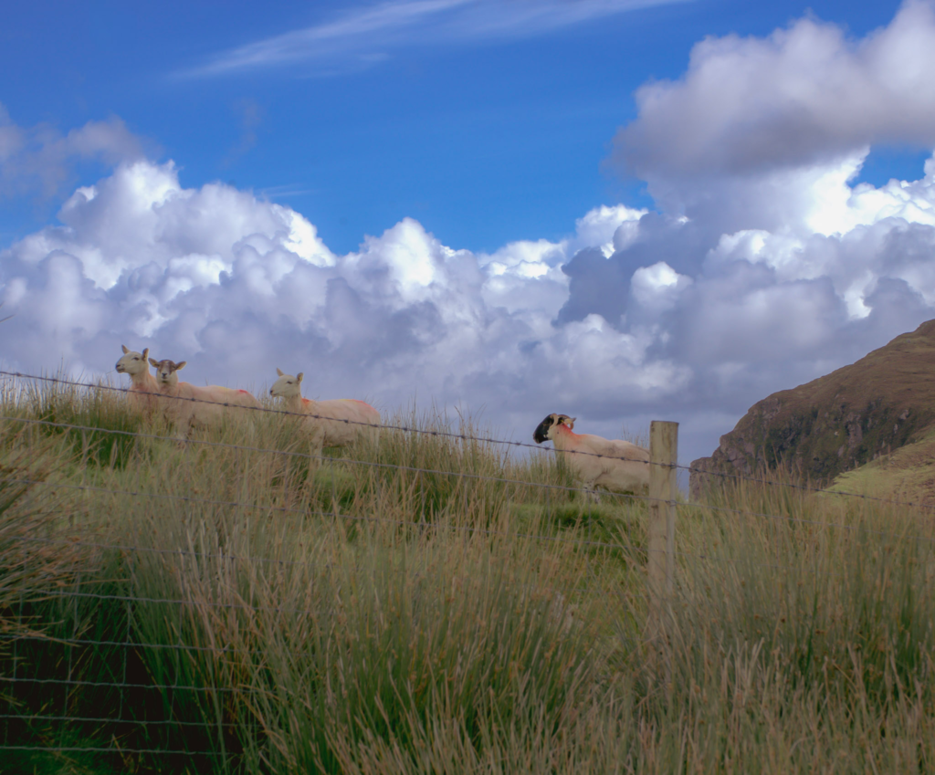
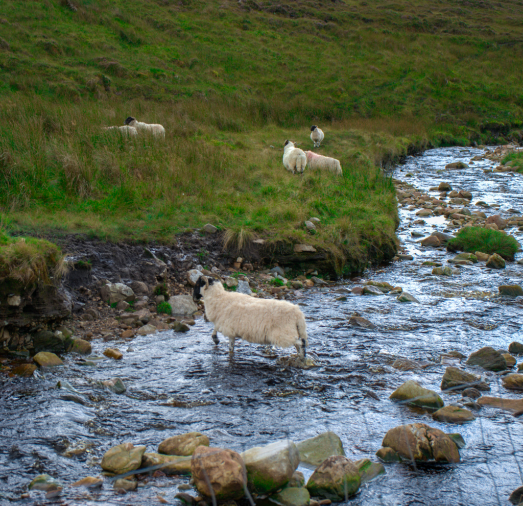
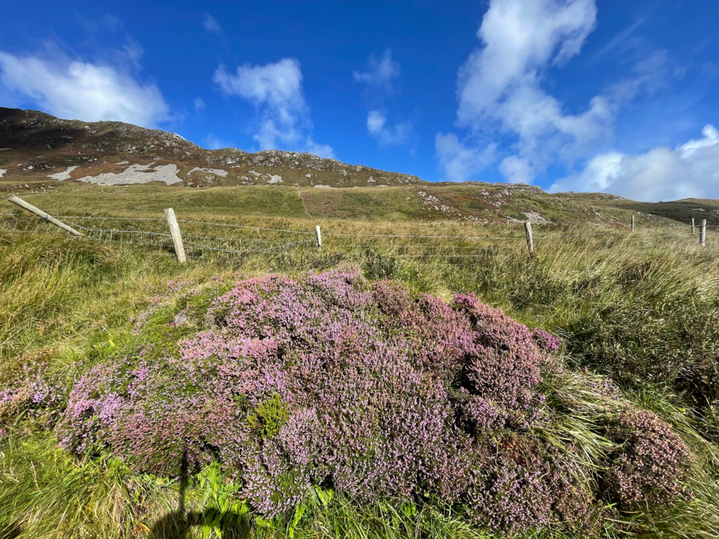
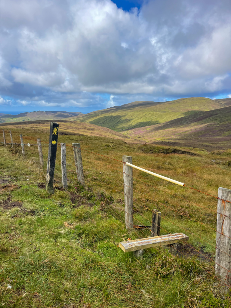
The first few kilometers followed the Owenree River up a valley lined with cottages and grazing sheep. As I gained elevation, the trail turned boggy and wild. Navigation here was more about intuition and watching for the waymark posts than following a clear trail. I crossed a saddle between two mountains and descended into a remote coastal area called Port.
There is nothing in Port but wind, the suggestion of waves, and a handful of abandoned fishing pots and old buildings. I sat on a rock and ate the sandwich I’d packed from Donegal, wondering how such silence still exists in the world, and honestly, I was greatful for it.
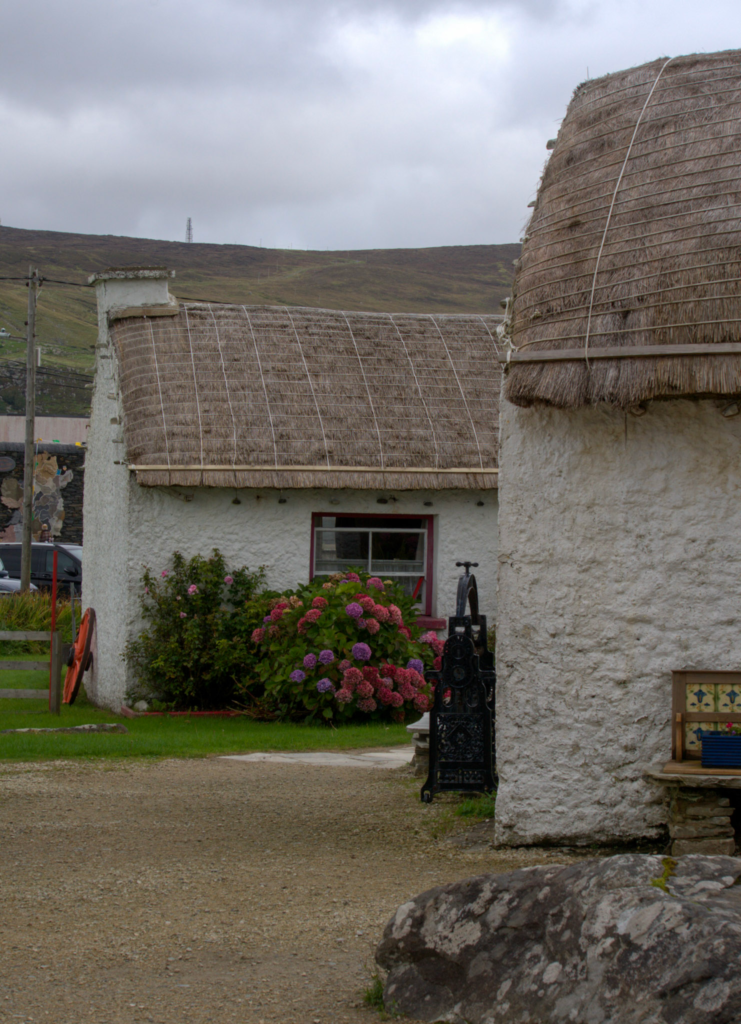
From there, the route climbed again before descending into Glencolumbkille, a village with roots reaching back to early Christianity. I called my host, Leon from Áras BnB, who picked me up after I had a delicious dinner and drove out to my accommodation in nearby Malin More. The bed was warm, the view wide, and I slept like a rock.
Day Two: Exploring Glencolumbkille and Glen Head
This was a rest day built into the itinerary, but I wouldn’t call it restful. I woke up early and took a loop walk out to Glen Head, where the land ends in dramatic cliffs and the Sturrall promontory slices into the sea. The wind nearly knocked me over more than once, and I stayed well back from the cliff edge.
I visited the Folk Village Museum, which deepened my appreciation for how people survived here. Peat fires, wool production, isolation—life in Donegal has always been hard-earned.
I also wandered parts of the Turas Colmcille, a spiritual pilgrimage route marked by stone crosses and ancient wells. It’s said that walking this route barefoot can cleanse your sins. I kept my boots on, but the reverence lingered.
Day Three: Glencolumbkille to Carrick
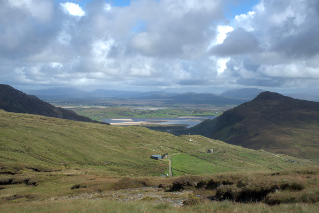
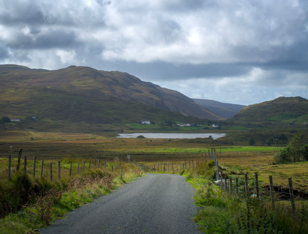
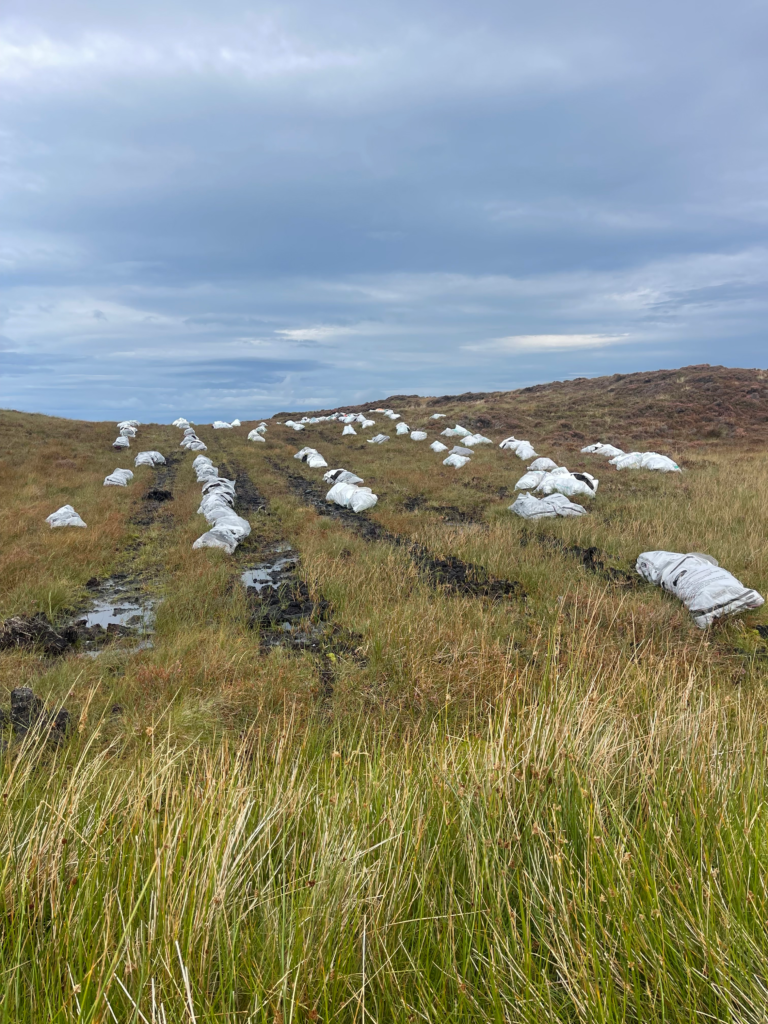
This leg of the trail was gentler but no less moving. I left Malin More and followed a green road that meandered over Crockunna, offering glimpses of the Atlantic on one side and sweeping peat fields on the other.
The trail passed the occasional pile of drying turf and crossed old cart tracks. It felt like walking through layers of history—paths used for generations by farmers and traders and, now, hikers like me.
After a half-day of walking, I arrived in Carrick, a village with a view of Slieve League in the distance. My lodging, O’Neill’s B&B, sat near the Teelin River. I walked down to the pier that evening, watching fishing boats bob in the calm bay as dusk settled in.

Day Four: Slieve League Cliffs
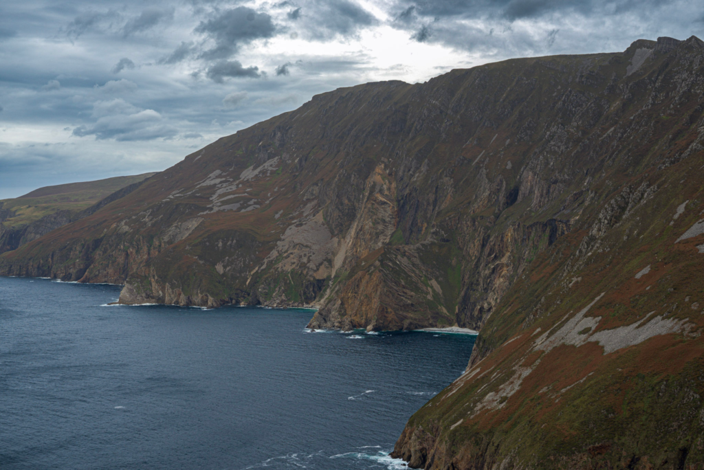
This wasn’t a trial day in the traditional sense, but it was a culmination. From Carrick, I took a shuttle to the Slieve League cliffs, some of the highest sea cliffs in Europe.
From the viewing area, I hiked along the cliff rim trail. The views were outrageous: cliffs plummeting 600 meters into the Atlantic, seabirds circling below, clouds catching in the stone folds. The wind was punishing. The trail narrowed. And I felt completely alive.
I turned back after about an hour, making my way to the Rusty Mackerel, a cozy pub near the cliffs where I warmed up with soup and a pint. There was music playing inside, and I could hear snippets of Irish between locals. It was the perfect farewell.
Practical Advice for Future Hikers
If you’re considering this route, especially solo, I can’t recommend Tailor Made Tours enough. They took care of everything: bookings, baggage, printed trail notes, and emergency contacts. I never felt unsafe or unprepared.
The weather will likely be unpredictable. You will get wet. You may lose the trail briefly. But that’s part of what makes it feel real. Bring waterproof boots, offline maps (Mapy.cz is excellent), and a dry bag for electronics.
I carried a 26L daypack with a rain cover, a first aid kit, and snacks each day. Breakfasts were provided at the B&Bs, and I ordered packed lunches in advance. Dinners were usually in local pubs or cafes.
You won’t need to speak Irish, but you’ll hear it—on signs, on the radio, in shops. It’s part of the magic of walking through a Gaeltacht region.
Would I Do It Again?
Yes. In a heartbeat. I’d walk farther next time, perhaps all the way to Ardara or loop back into Donegal Town. I’d linger longer in Glencolumbkille. And I’d still book through Tailor Made, because having the logistics off my shoulders gave me room to just be there.
If you’re a hiker looking for a trail that’s more emotional than Instagrammable, more honest than curated, and deeply connected to place—go walk the Donegal Way. You won’t come back unchanged.
Final Thoughts on Hiking the Donegal Way
This wasn’t my longest hike. It wasn’t even the most technical. But it was one of the most meaningful. There’s something about walking alone through places this remote that makes you listen differently—to yourself, to nature, to the quiet, and I can now confidently say- I did a hike in a bog.
Donegal teaches you that beauty doesn’t need polish. That solitude can be a gift. That walking slowly through a place is sometimes the only way to really see it.