
The Only Hiking Apps You Need for the Dolomites (2026 Update)
The Dolomites are one of my favorite places in Italy. Living in Vicenza, I’m lucky to be just 2.5 hours away from some of the region’s most breathtaking spots. As I explore these trails, I often rely on some of the best Dolomite hiking apps to guide my adventures.
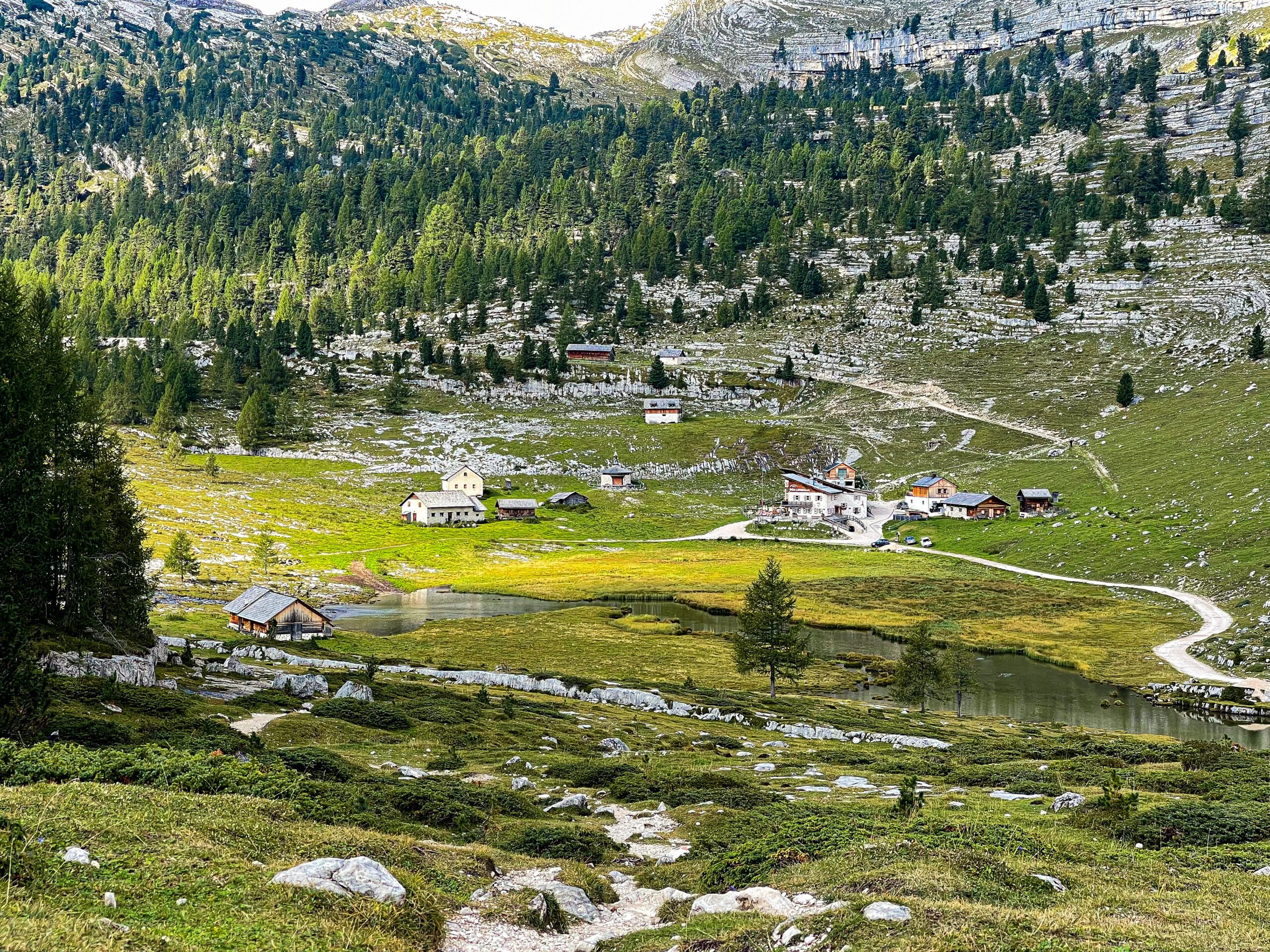
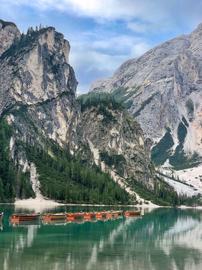
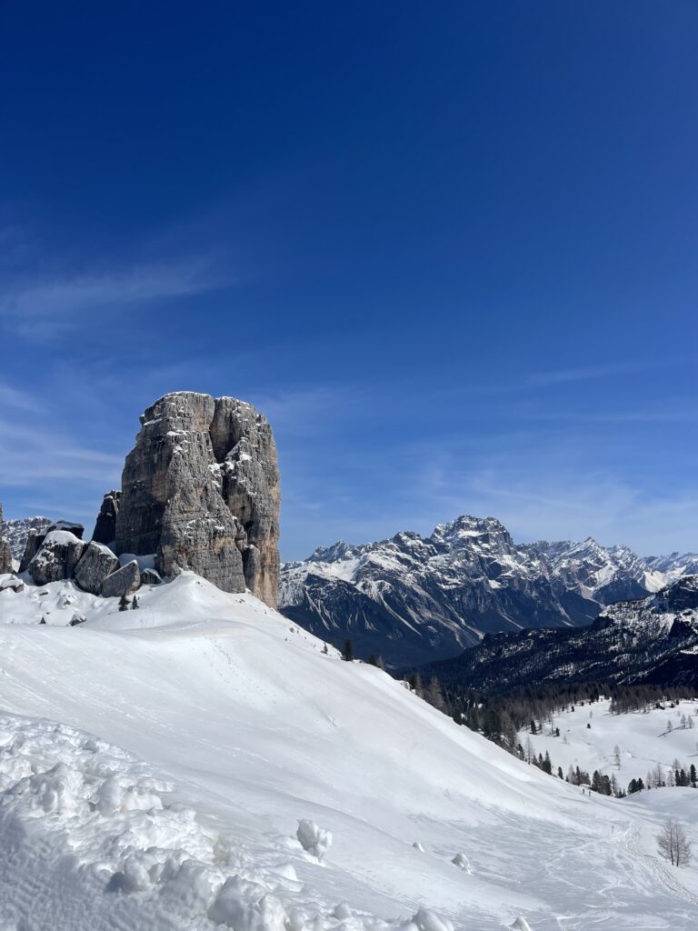
I’ve snowshoed through Cinque Torri, climbed around Tre Cime di Lavaredo, marveled at the surreal blue hues of Lago di Sorapis and Lago di Braies, and trekked along the Alta Via 1 and 2, savoring the warmth and hospitality of the rifugi along the way.
With so much to explore, having the right smartphone apps can make all the difference in navigating, planning, and making the most of your time in this stunning mountain range.
I completely understand that not everything will work for you or have the best user interface, so that’s why this list is pretty long and varied. Pick what you like and discover the Dolomites your way!
Regional Apps for the Dolomites
Believe it or not, there are a plethora of apps that are focused on traveling and hiking around the Dolomites.
From city-specific to understanding trails, here are the best ones that I have encountered. I think you’ll enjoy these
1) Mappa Digitale Sentiero Italia
This app is designed for hikers and trekkers in the Dolomites. This is a database of GPS maps that you can download to your phone. Sentiero of Italia will help you with hiking in the Dolomites and gets the best app designation because it allows you to download straight to your phone
Features:
- Detailed digital maps for navigation along the route. You have to be a CAI member to download and buy these maps.
- GPS tracking to help users stay on course.
- Route information, including difficulty levels, elevation, and estimated hiking times.
- Points of interest along the way.
This is a valuable tool for planning and navigating long-distance hikes.
2) Val Gardena Guestinfo
This app offers the possibility to get to know Val Gardena even better.
This app is your travel guide to Val Gardena, offering:
- Local weather updates
- Live webcams
- Event listings
- Lift and trail information
- Public transport schedules
Available in English, Italian, and German for both iOS and Android.
4) My Dolomiti – Your Adventure Companion on the Slopes!
This app is designed for skiers and snowboarders exploring the Dolomiti Superski area. It provides:
- Ski pass management (purchase and check validity).
- Live ski slope and lift status updates.
- GPS tracking and ski statistics (distance skied, speed, altitude, etc.).
- Weather reports and webcams from ski areas.
- Augmented reality map for navigation on the slopes.
- Challenges and rankings to track your progress.
It’s an essential app for winter sports enthusiasts in the Dolomites!
5) South Tyrol Guide
This is a comprehensive travel guide for the South Tyrol region, helping visitors discover attractions, activities, and cultural sites. Features include:
- Detailed information on towns, hiking trails, and nature spots.
- Restaurant and accommodation recommendations.
- Cultural and historical insights into the region.
- Event listings and local experiences.
- Navigation tools to help visitors get around.
This app is great for both first-time and repeat visitors looking to explore South Tyrol in depth.
6) Mio Trentino
This is an official app for exploring the Trentino region, covering everything from hiking and skiing to cultural experiences and local services. Features include:
- Personalized recommendations based on your interests.
- Interactive maps with hiking and biking trails.
- Public transport and mobility information.
- Real-time updates on ski slopes and lift conditions.
- Local event listings, museums, and gastronomy recommendations.
- Discounts and special offers for activities and accommodations.
It’s a great all-in-one travel companion for those exploring Trentino, whether in summer or winter.
Accommodation
Whether you’re booking a rifugio for a multi-day trek, a cozy alpine chalet, or a budget-friendly guesthouse, these apps will help you find the best places to stay in the Dolomites.
1) Booking.com (Best for Hotels & Guesthouses)
- Why Use It? Booking.com has the largest selection of accommodations in the Dolomites, from luxury hotels to budget B&Bs.
Features:
- Filter by price, location, and traveler rating
- Many properties offer free cancellation, which is great for unpredictable weather
- The “Genius” loyalty program gives discounts after a few bookings
2) Agriturismo.it (Best for Farm Stays)
Why Use It? If you want a more authentic experience, an agriturismo (farm stay) is a great option.
Features:
- Listings of family-run guesthouses where you can enjoy local food
- Many have breakfast included and some offer farm-to-table meals
Weather
1) 3B Meteo
This is the only app I use for weather here in Italy. It is a renowned weather forecasting service in Italy. 3B Meteo offers detailed forecasts for various regions. 3B Meteo provides hourly updates, long-term predictions, and real-time weather conditions.
From temperature and precipitation to wind and humidity, it covers all aspects of weather. Whether you’re planning a trip, a hike, or just your daily commute, 3B Meteo helps you stay prepared with up-to-date weather information.
This app came in handy when I was hiking around Tre Cime di Lavaredo and Cadini di Misurina and it predicted afternoon showers
Transportation
1) Dolomiti Bus
Dolomiti Bus is your go-to app for navigating the Dolomites with ease if you decide not to drive in italy. This free, multilingual app allows you to search routes, purchase tickets, and access tourist services. With real-time updates and mobile ticketing, traveling through the stunning landscapes of the Dolomites has never been more convenient. This is another one of the best apps for exploring the Dolomites due to its comprehensive features.
2) SudTirol Mobile App
Sutirol Mobile App is an essential tool for exploring South Tyrol. It offers real-time information on bus and train schedules, mobile ticketing, and traffic updates. Whether you’re planning a journey or need to find the nearest stop, this app ensures a smooth and efficient travel experience throughout the region.
Both of these applications cover the Veneto region and the Trentino-Alto Adige region in terms of transportation. You’ll use the Doliomiti Bus app to get around Cortina, Misurina, Lagazuoi, and further down into Corvara.
The SudTirol Mobile App will help you explore towns in South Tyrol like Bressanone/Brixen, Bolzano, Merano, Orteisei, and Lago di Braies.

Hiking
For those venturing into the Dolomites’ stunning trails, these are must-have hiking apps
1) Komoot
Komoot is the ultimate adventure planning app, perfect for hiking, biking, and running in the Dolomites.
Not only does it provide personalized route planning, but it also offers turn-by-turn navigation and offline maps. Additionally, with community recommendations and detailed route information, Komoot helps you discover and enjoy the best outdoor experiences. Consequently, Komoot easily ranks among the best apps for exploring the Dolomites.
I love Komoot, and I choose this over AllTrails any day because the app interface makes more sense, and it has a better user experience.I have also used it offline for my hikes to Lago di Sorapis, Croda Da Lago/Lago Federa.
2) Tobacco Maps
Tabacco Maps brings high-quality, detailed maps of the Alpine region to your smartphone. Ideal for hiking, trekking, and mountain biking, this app allows you to track your routes, share your adventures, and even use augmented reality to identify peaks and landmarks.
3) Bergfex
Bergfex is the go-to app for outdoor enthusiasts, offering detailed information on hiking, skiing, and mountain biking across Europe. With over 200,000 trails and routes, it not only provides comprehensive tour descriptions but also topographic maps and real-time weather updates. Furthermore, whether you’re planning a summer hike in the Alps or a winter ski trip, Bergfex ensures you have all the information you need for a safe and enjoyable adventure. Therefore, it’s one of the best apps for exploring the Dolomites.
Nature Exploration Apps
1) PlantNet
With PlantNet, you can take a photo of a plant and get a near-instant identification. Perfect for understanding the rich flora that thrives in the Dolomites’ meadows and forests. Listen, I take pictures of flowers, and if I like them, I want to know what kind they are!
2) BirdNet
BirdNET allows you to record bird songs and identify them through AI recognition. It’s a great way to connect with the natural soundscape of the region and learn about the birds you encounter. My mother-in-law actually introduced me to this particular app. She’s a big bird watcher, and she let me know this is perfect if I ever want to identify birds!
PeakLens
Point your phone at any skyline and instantly identify the names and elevations of the surrounding mountains. PeakLens uses augmented reality to bring context to those breathtaking views.
This one is cool, because now I know where I want to hike next, HAH!
Language
Google Translate is an indispensable tool for any traveler. With support for over 200 languages, it offers text, voice, and photo translation. Whether you’re navigating local menus, asking for directions, or chatting with locals, Google Translate ensures you can communicate effectively and enjoy your trip to the fullest.
Enjoy Your Time in The Dolomites!
I hope these Dolomites travel apps make your trip smoother and more enjoyable. Let me know in the comments if you’ve used any of these or have other favorites!
Want to read more blog posts?
- A First Timers Guide to the Dolomites :How to Plan your trip and where to stay!
- Solo Hiking the Stunning Alta Via 1 & 2 with Bookatrekking
- Lago Di Sorapis Hiking Guide: Passo Tre Croci to Sorapiss
- What to Expect while staying at Rifugios in the Dolomites
- Your Ultimate Guide to Bolzano and Merano Christmas Markets
- Rango Christmas Market in Garda-Trentino, Italy
- Five of the Best Hikes in the Italian Dolomites You Can Do Near Cortina D’ Ampezzo
- Cadini di Misurina: The Viral Dolomites Viewpoint That’s Not Worth Your Time
- Snowshoeing in the Dolomites: An Epic Guided Adventure Around Cinque Torri