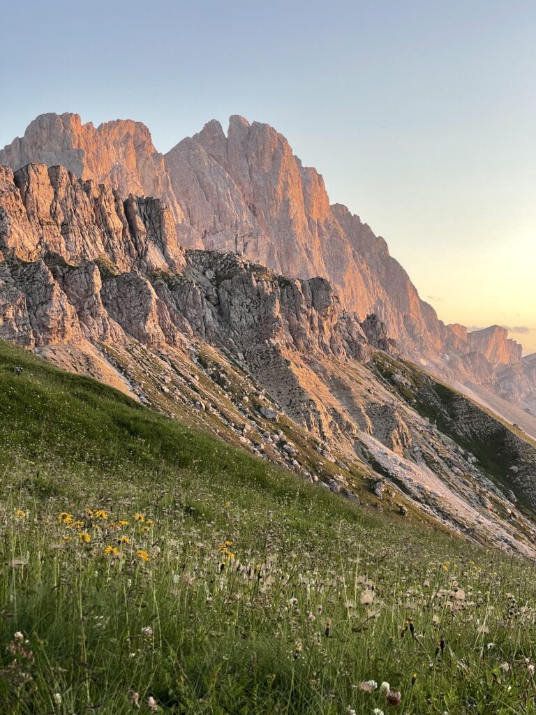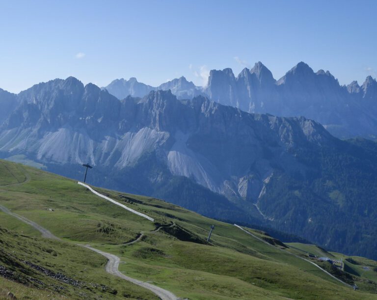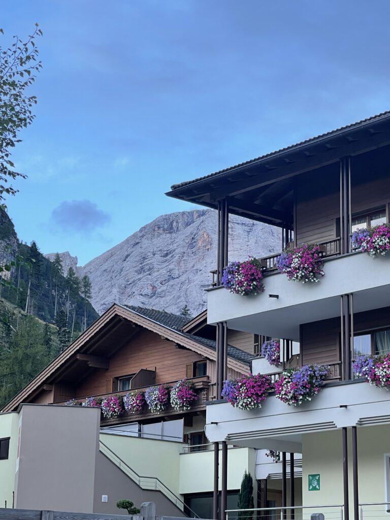
Can I be honest: navigating the Dolomites isn’t always easy. That’s why I created this blog post, I wanted to bring together not only navigation apps but some of the best dolomite hiking apps for your smartphone.
Buses run on regional timetables. Some trails vanish under snow even in June. And don’t even get me started on spotty signal when you’re out on the ridges.
That’s why I rely on a handful of apps to help me hike smarter, stay safe, and enjoy my time here, without stressing about logistics.
In this post, I’m sharing the exact apps I use when hiking and traveling in the Dolomites—whether I’m planning a multi-day hike, tracking the weather, identifying wildflowers, or simply finding a reliable bus to get back to town.
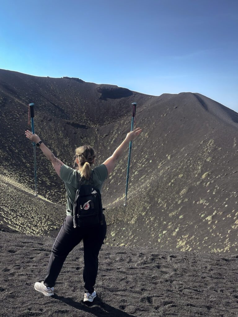
These aren’t just generic suggestions. I’ve tested every one of these apps while hiking solo, with my dogs, or guiding friends through this wild and beautiful corner of Italy.
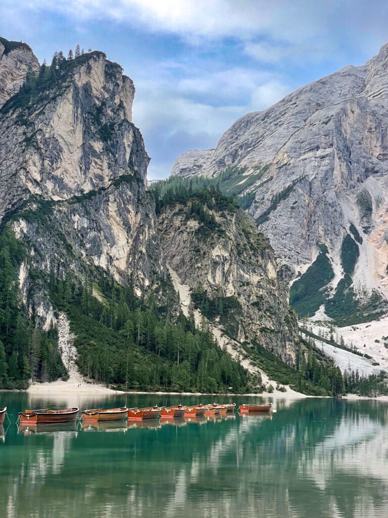
Let’s dive in—so you can spend less time worrying about logistics and more time enjoying one of the most breathtaking places on Earth.
My posts contain affiliate links. If you buy through my links, I may earn a commission at no extra cost to you. I only recommend products and services I use and trust. Thank you for supporting my blog!
Table of Contents
Dolomites Apps at a Glance: My Top Picks
| Need Help With… | App Recommendation |
|---|---|
| Planning hikes | Komoot, Tabacco Maps |
| Weather | 3B Meteo |
| Ski & Snowboard | My Dolomiti |
| Transport | Dolomiti Bus, Südtirol Mobile |
| Offline trail maps | Organic Maps, Mapy.cz |
| Identifying nature | PlantNet, BirdNET, PeakLens |
| Booking stays | Booking.com, Agriturismo.it |
Best Apps for Hiking in the Dolomites
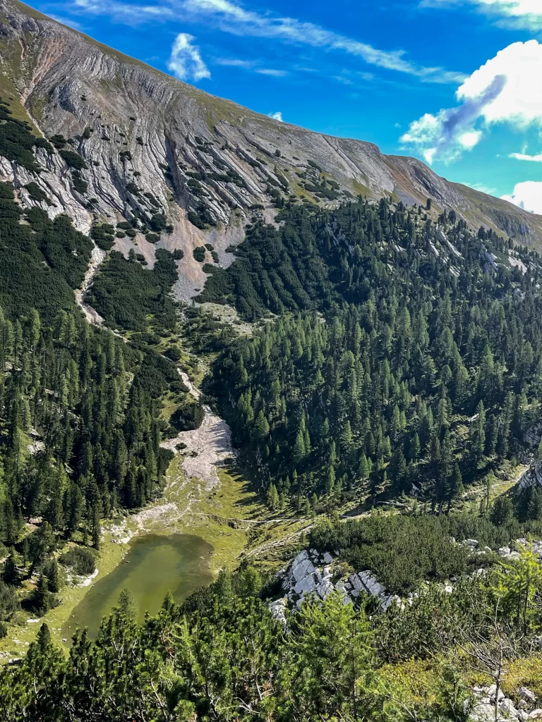
If you’re only going to download one kind of app for your Dolomites adventure, make it a hiking app. These tools help you find trails, stay safe, and save battery life while offline.
Komoot
Best for: Komoot is the best for planning hikes in the Dolomites as well as tracking hikes (even without signal)
This is my go-to for day hikes and longer treks. It’s user-friendly, great for solo hikers, and lets you download trail segments in advance.
Pro-Tip:
Use the voice navigation feature—it’s a lifesaver when fog rolls in and you’re second-guessing every fork in the trail.
Tabacco Maps
Best for: Tobacco Maps = Serious trail navigation
Think of this as the digital version of those detailed Italian trail maps. If you’re venturing off the beaten path or hiking near WWI sites like Monte Cengio or Strada delle 52 Gallerie, this one’s essential.
Best Dolomites Weather App
Weather changes fast up here, especially in shoulder season. This one app helps you prep for sudden storms or snowy mornings, even in June.
3B Meteo
Best for: 3B Meteo is how locals forecast in mountain towns
This Italian app is impressively accurate and more useful than most generic weather apps for local-level info. It breaks forecasts down by time block and location—ideal for high-altitude plans.
Want to see how I used Komoot on the Alta Via 1?
Regional Tourism Apps That Make the Dolomites Easier to Explore
These aren’t just throwaway city guide apps—they’re packed with live event calendars, rifugio info, bus routes, trail updates, and insider suggestions straight from local tourism boards. If you’re hiking, eating, or exploring a specific region, don’t skip these.
They’re also perfect for slow travel, since they showcase cultural events and often highlight less touristy experiences.
Val Gardena App
Best for: Hikes, lifts, events, and cultural sites in Ortisei, Santa Cristina, and Selva
This is one of the most polished regional apps. It offers lift timetables, route maps, rifugio listings, weather updates, and current trail status. You can filter by difficulty, duration, and family-friendliness. It even lists current concerts and Ladin cultural events.
I used this to find a last-minute chairlift open in shoulder season—huge time saver.
Südtirol ToGo (Südtirol.info)
Best for: Broader South Tyrol region including Alta Badia, Alpe di Siusi, and the Eisack Valley
This app gives you access to hundreds of trails, accommodation options, and public transport timetables. It also includes cultural event info, bike tours, and scenic routes for drives and e-bike riders.
Bonus: It’s also your gateway to booking South Tyrol Guest Cards, which offer free public transport and discounted museum access.
Cortina Dolomiti App
Best for: Hiking, skiing, and events in the Ampezzo Dolomites (Cortina d’Ampezzo)
This app offers real-time updates on lift openings, ski conditions, trails, events, and even avalanche risk levels in winter. You can also check what rifugi are open by season and see trail conditions on a map overlay.
I used this during a spring visit to time my snowshoeing route around Cinque Torri.
Dolomiti Paganella App
Best for: Families, bikers, and hikers in the Brenta Dolomites
Centered around Andalo, Fai della Paganella, and Molveno, this app is ideal if you’re exploring the western Dolomites. It offers downloadable hiking maps, lift info, MTB routes, and suggestions for food stops.
Alta Badia App
Best for: Trail tips and gourmet food events
This region is famous for combining serious hiking with high-end cuisine—and the app reflects that. Use it to find wine tastings, chef events, as well as hiking maps and lift info.
Tre Cime Dolomiti App
Best for: Eastern Dolomites (Sesto, San Candido, Dobbiaco)
Focused around the Tre Cime area, this app covers rifugi, summer hiking, lift passes, via ferrata access points, and winter snow conditions. You can also find shuttle info for popular routes like Lago di Braies.
Useful Tip: Download Before You Go
Some of these apps are region-locked or hard to find once you’re already offline in the mountains. Download them at home or in a hotel with good Wi-Fi before heading out for the day.
Getting Around the Dolomites: Transportation Apps
If you’re not renting a car (or just want to reduce your carbon footprint), these apps make getting around way less frustrating.
Dolomiti Bus
Best for: DolomitiBus is best for the Eastern Dolomites (Cortina, Auronzo, Belluno)
It’s clunky, but it works. You can search bus routes and timetables, though not every station is listed in English. Still worth downloading if you’re staying in places like Misurina or hiking to Lago di Sorapis.
Südtirol Mobile (Alto Adige Bus)
Best for: South Tyrol region (Bolzano, Ortisei, Val Gardena)
Way more polished than Dolomiti Bus. I used this daily in Alta Badia and Val Gardena—it even shows real-time delays.
Want to know how I got to Tre Cime by bus? Read my solo Tre Cime guide.
Want to know how I got to Tre Cime by bus? Read my solo Tre Cime guide.
Best Offline Map Apps for Trail Navigation
Sometimes your main app will glitch, or you’ll hit an area with zero reception. That’s when these offline tools come in handy.
Organic Maps
Best for: Organic Maps is Super lightweight, fast maps
Totally free and open source. Great for saving your battery if you’re already running Komoot or Gaia. I use this as a digital backup map on longer hikes.
Mapy.cz
Best for: Multi-day hikes and public huts
Mapy.cz is a sleeper hit. Download the Italy region, and you’ll be surprised by how many rifugi, fountains, and trail names are included.
Battery Tip:
Set your phone to airplane mode with GPS on to get the most out of these apps.
Best Apps for Booking Rifugi and Accommodation
The Dolomites don’t run on Airbnb. If you want to stay in rifugi or agriturismi, these are the apps and platforms that actually work.
Booking.com
Best for: The Booking.com app is best used for Hotels, guesthouses, in the Dolomites
Lots of rifugi now list here—especially the more modern ones along the AV1 or Tre Cime circuit. I often use it to read reviews from other hikers and check cancellation policies.
Agriturismo.it
Best for: Agriturismo.it is great for Rustic, local stays
If you want that countryside vineyard-in-the-mountains feel, this is your best bet. Often cheaper than hotels and usually dog-friendly.
Want to know where I stayed near Alta Badia with my dogs?
Nature ID and Discovery Apps You can Use In the Dolomites
Perfect for slow travelers, photographers, or curious hikers.
PeakLens
Best for: Identifying mountain peaks
Point your phone at a summit, and it tells you what you’re looking at. Simple but satisfying.
PlantNet
Best for: Identifying alpine plants
Especially fun in early summer when the wildflowers are blooming. Snap a photo, and this app gives you possible matches.
BirdNET
Best for: Curious about birdsong
I discovered this by accident on a quiet morning in Alta Pusteria. It identified a golden eagle. Magic.
Language and Translation Apps
Not everyone in mountain towns speaks English—and signage can be in Italian, German, or Ladin.
Google Translate
Best for: Reading trail signs or menus
Download Italian, German, and Ladin offline before your trip. Don’t rely on signal when you’re hungry and lost.
FAQs About Using Travel Apps in the Dolomites
Do I need a cell signal for these apps to work in the Dolomites?
Not always. Most of these apps let you download maps and data in advance—just do it before you head into the mountains.
Which app is best for solo hikers?
Komoot + Organic Maps. That combo covers safety, route-finding, and battery backup.
Do I need a local SIM card in Italy?
Not required, but helpful. TIM and Vodafone both have solid coverage in the Dolomites. If you are coming from the United States or any other country, when I travel, I use HolaFly.
![]()
Final Thoughts
Exploring the Dolomites should feel freeing—not frustrating.
These apps won’t just save you time—they’ll help you stay safe, explore deeper, and reduce the stress of getting lost, stuck, or offline at the wrong moment.